Catalog Archive
Auction 136, Lot 451

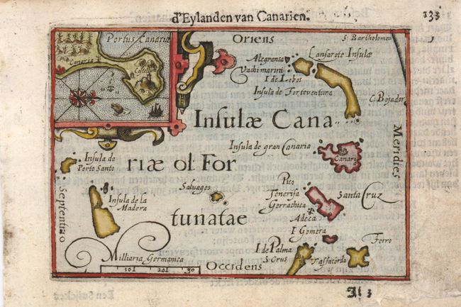
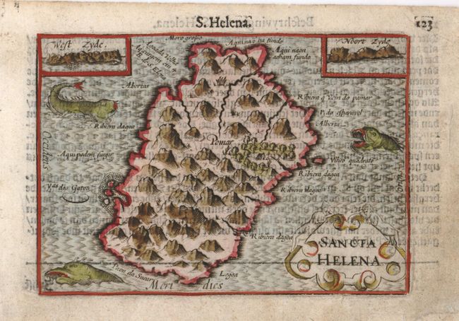
"[Lot of 2] D'Eylanden van Canarien [and] Sancta Helena", Langenes, Barent

Subject: Atlantic Islands

Period: 1598 (published)

Publication: Caert-Thresoor

Color: Hand Color

Size:
4.8 x 4 inches
12.2 x 10.2 cm
Download High Resolution Image
(or just click on image to launch the Zoom viewer)

Pair of miniature maps illustration important islands in the Atlantic. The map of the Canary Islands includes an inset of the Port of Las Palmas, a stopping point for the Spanish conquerors, traders, and missionaries on their way to the New World. The map of Saint Helena shows an equally important stopover for ships, in this case those trading between Europe and Africa or Asia. Two coastal approach views show the west and north side of the island and three sea monsters embellish the tiny map. They were published by Cornelius Claesz and printed by Langenes in the first edition of the popular Map-treasury. Dutch text on versos.

References: King (2nd ed.) pp. 80-82.

Condition: B+

Good impressions with some soil and minor repairs in the blank margins.

Estimate: $180 - $230

Sold for: $130

Closed on 6/1/2011

Archived