Catalog Archive
Auction 136, Lot 428

"A General Map of South America from the Best Surveys", Reid, John

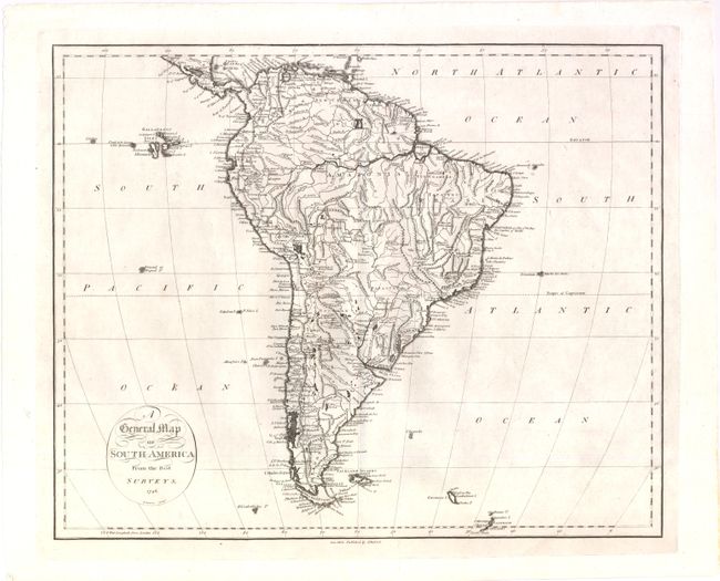
Subject: South America

Period: 1796 (dated)

Publication: The American Atlas

Color: Black & White

Size:
17.5 x 14.2 inches
44.5 x 36.1 cm
Download High Resolution Image
(or just click on image to launch the Zoom viewer)

This beautifully engraved chart was published in John Reid's rare American Atlas which was the second atlas to be published from America. The map shows the entire continent in very fine detail to include major cities, coastal regions, interior watershed and topography. Extends to locate Georgia Island and the Sandwich Island group to the east of Terra del Fuego. Also with good detail of the Galapagos Islands. The Amazon is well mapped.

References:

Condition: A+

An exceptional example with very dark, early impression and full margins on thick hand laid paper.

Estimate: $180 - $240

Sold for: $90

Closed on 6/1/2011

Archived