Catalog Archive
Auction 136, Lot 413

"A Correct Chart of the Caribbee Islands", Mount & Page

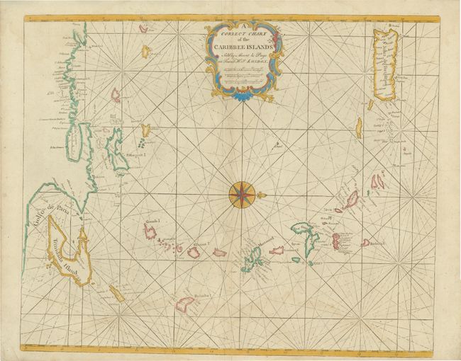
Subject: Lesser Antilles

Period: 1760 (circa)

Publication:

Color: Hand Color

Size:
20.8 x 17.2 inches
52.8 x 43.7 cm
Download High Resolution Image
(or just click on image to launch the Zoom viewer)

Chart of the Lesser Antilles from the Spanish Main up to Puerto Rico. Nice detail of the Windward Islands including Grenada, Saint Vincent, Martinique and Dominica. North is oriented to the right-side of the image. This chart appeared in the English Pilot, published by Mount & Page who produced almost all of the eighteenth-century editions. This series started in 1671 by John Seller, although much of his work was based upon existing Dutch plates. Seller's desire was to issue four books of charts covering the major navigational routes of the world, but he overestimated the resources required for such a large undertaking and had to adjust his scope.

References: Shirley (TMC-73) p. 2-3.

Condition: B+

Some faint damp stains and minor separations in the image. The centerfold has been reinforced with archival tissue.

Estimate: $700 - $900

Sold for: $400

Closed on 6/1/2011

Archived