Catalog Archive
Auction 136, Lot 40

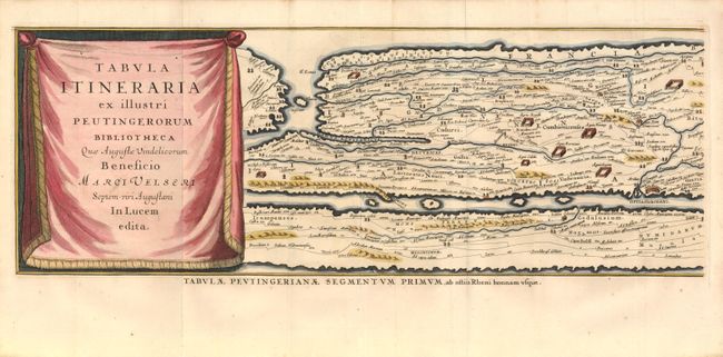
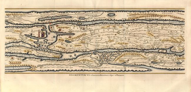
"[Lot of 2] Tabula Itineraria ex illustri Peutingerorum Bibliotheca… [Segments I & VI]", Jansson, Jan

Subject: Ancient World

Period: 1650 (circa)

Publication:

Color: Hand Color

Size:
19.8 x 7.4 inches
50.3 x 18.8 cm
Download High Resolution Image
(or just click on image to launch the Zoom viewer)

Two of eight sheets from the famous Peutinger Table, or a Roman road map of the world. Included is the title sheet and another sheet, which includes the city of Constantinople. The original parchment document was found by Konrad Celtes in a library in Augsburg which came into the hands of Konrad Peutinger and later went to his relative Mark Welser who was the first to publish a copy of it in 1591 at Aldus Manutius in Venice. These maps were based on the original manuscript first popularized by Ortelius in 1598 and became an important part of his great historical atlas. Jansson's version is nearly identical to that of Ortelius. In totality these decorative maps depict the imperial roads and posts within the Roman Empire throughout Europe, North Africa and Asia as far as Toprobana (Sri Lanka).

References:

Condition: A

Folding as issued with a small fold separation in the margin of the title sheet.

Estimate: $200 - $300

Sold for: $350

Closed on 6/1/2011

Archived