Catalog Archive
Auction 136, Lot 387

"Le Golfe de Mexique, et les Isles Voisine. Dresse sur les Relations les Plus Nouvelles / Archipelague du Mexique ou sont les Isles de Cuba, Espagnola, Jamaica, &c. Dresse sur les Relations les Plus Nouvelles", Mortier, Pierre

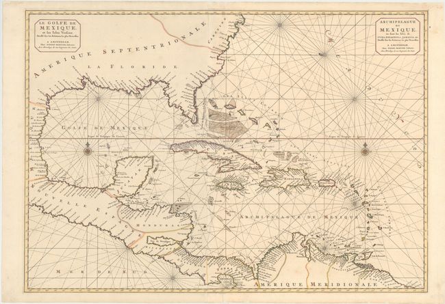
Subject: Gulf of Mexico and Caribbean

Period: 1700 (circa)

Publication:

Color: Hand Color

Size:
33.4 x 23.4 inches
84.8 x 59.4 cm
Download High Resolution Image
(or just click on image to launch the Zoom viewer)

This stunning, large-scale chart is printed on two sheets with detail confined to the coastlines. It covers the U.S. coastline from just above Cape Fear (C. Faire) through the Gulf of Mexico, Central America, the northern coastline of South America and all of the West Indies. In 1700 Pierre Mortier published the Suite du Neptune Francois as the second volume of his Neptune Francois of 1693. It covered regions outside of Europe with many drawn from the manuscripts of N.P. d'Ablancourt that were derived from Portuguese archives. There was only one edition of the Suite de Neptune Francois. However, some of the charts were issued in two separate sheets in Mortier's smaller format Atlas Nouveau. Unlike many of the other maps from the Suite, this map is rarer because it was replaced in 1703 by the Teatre de la Guerre en Amerique, a similar two-sheet map that illustrated the West Indian theater of the War of the Spanish Succession.

References: Burden #769.

Condition: A

There is a minor tear in the bottom margin closed with archival tape, else fine.

Estimate: $1,800 - $2,200

Sold for: $1,200

Closed on 6/1/2011

Archived