Catalog Archive
Auction 136, Lot 37

"[Lot of 2] Western Hemisphere [and] Eastern Hemisphere", Tallis, John

Subject: World

Period: 1850 (circa)

Publication: Illustrated Atlas and Modern History of the World

Color: Hand Color

Size:
13 x 10 inches
33 x 25.4 cm
Download High Resolution Image
(or just click on image to launch the Zoom viewer)
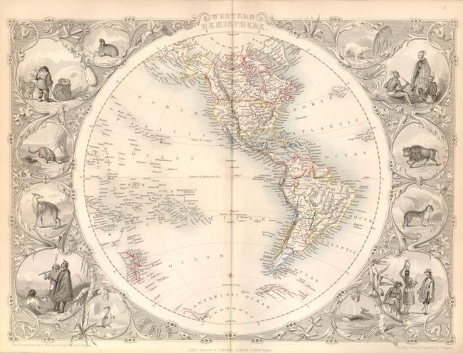
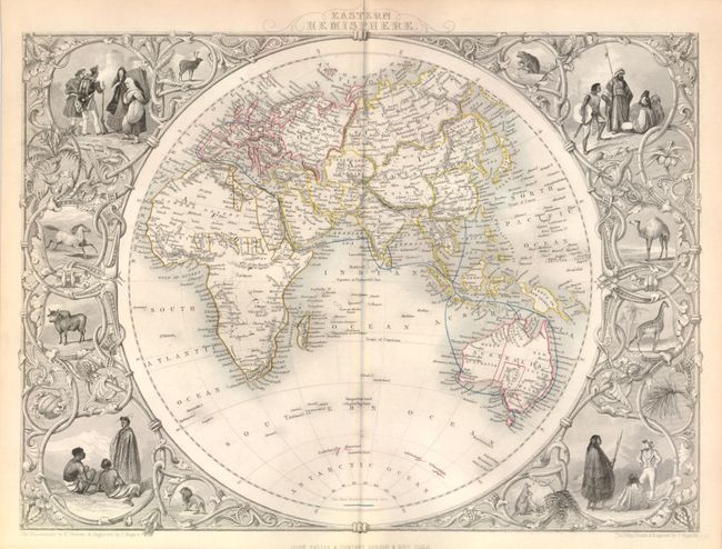
A lovely pair of finely rendered hemispheric maps that are some of the most decorative maps produced in the 19th Century. Both maps were engraved by J. Rapkin and show a circular hemisphere completely surrounded by vignettes drawn by H. Warren, featuring whales, natives, and indigenous animals, with a fancy vine-style border. The original outline color is typical for the period in that it was applied when children were employed as colorists.

The western map extends to include New Zealand and the Solomon Islands in the Pacific, and the Cape Verde Islands in the Atlantic. Alaska is Russian America, New California occupies all the west coast with the Baja called California, and the coast of Antarctica is partially defined.

The eastern map includes major cities, topography and watershed. The "Mail Route" for the British Empire is shown and identified in a key near the south pole; it extends from Britain through the Mediterranean Sea, overland to the Red Sea, across the Arabian Sea to Calcutta, through the East Indies and around Australia with stops in Perth, Adelaide, Hobart (Tasmania) and Sydney.

References:

Condition: A

Overall very good with a small spot on the centerfold of the Western Hemisphere map.

Estimate: $425 - $500

Sold for: $325

Closed on 6/1/2011

Archived