Catalog Archive
Auction 136, Lot 366

"Carte des Etats Unis du Mexique", Thierry

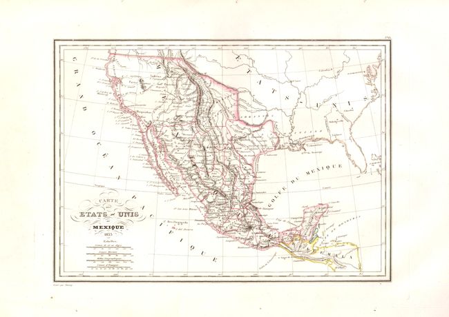
Subject: Southwest United States & Mexico

Period: 1835 (dated)

Publication:

Color: Hand Color

Size:
12 x 8.8 inches
30.5 x 22.4 cm
Download High Resolution Image
(or just click on image to launch the Zoom viewer)

An attractive map that shows the Southwest to Mexico, the Yucatan and Guatemala. This map was made just before Texas declared its independence in 1836, and shows Texas as a province within Mexico. Topography is denoted by hachure, and many native tribes are noted. The title is embellished with flourishes and four distance scales.

References:

Condition: A

There are binding holes in the top margin, well away from the image.

Estimate: $120 - $150

Unsold

Closed on 6/1/2011

Archived