Catalog Archive
Auction 136, Lot 365

"Carte Geographique, Statistique et Historique du Mexique", Buchon, Jean Alexandre

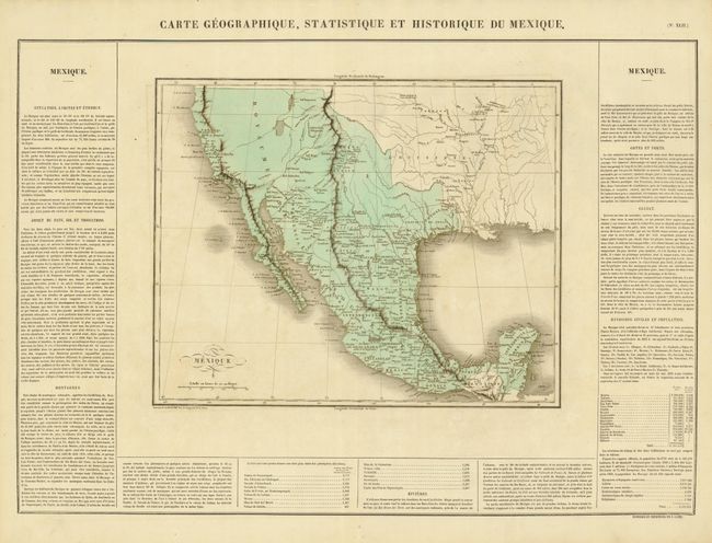
Subject: Southwest United States & Mexico

Period: 1825 (published)

Publication: Atlas Geographique, Statistique, Historique et Chronologique…

Color: Hand Color

Size:
15.5 x 12.3 inches
39.4 x 31.2 cm
Download High Resolution Image
(or just click on image to launch the Zoom viewer)

This is the French edition of Carey & Lea's map of Mexico, the Southwest, and Texas. The map extends north to above C. Mendocino on the coast of California. Mexico is divided into its states. There is good detail of the watershed in the Southwest and Texas. In the Provincia de Texas, Loredo, Presido Nacogdoch, and Presido de Bejer are among the more important settlements shown. This map was issued less than two years after Stephen F. Austin received a grant from the Mexican government to begin colonization in the region of the Brazos River. In the Southwest, Santa Fe and several pueblos including Acoma and Laguna are identified as are the lands of the Apache, Hopi (Moqui). An unnamed river, originating in L. Timpanagos, crosses the Great Basin on its way to the Pacific at Monterrey (Monte Rey). Engraved by B. de Beaupre. The map is on a full sheet measuring 27.3 x 21" with panels of French text, including population figures, at the sides and bottom.

References:

Condition: A

Near fine with original hand coloring, sharp impression and full margins. Slight offsetting on the upper left-hand side of map.

Estimate: $250 - $350

Sold for: $180

Closed on 6/1/2011

Archived