Catalog Archive
Auction 136, Lot 35

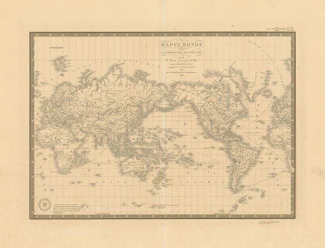
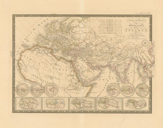
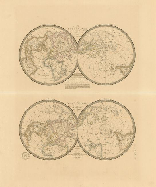
"[Lot of 3] Mappemonde sur la Projection de Mercator [and] Carte Generale du Monde Connu des Anciens [and] Mappemonde projeter sur L'Horizon De Paris et de son Antipode [and] Mappemonde sur la Projection Polaire", Brue, Adrien Hubert

Subject: World

Period: 1838-1840 (dated)

Publication: Atlas Universel

Color: Hand Color

Size:
20.5 x 14.5 inches
52.1 x 36.8 cm
Download High Resolution Image
(or just click on image to launch the Zoom viewer)

These three matching world maps are beautifully engraved and highly detailed. Each with blank verso and Brue's blind-stamped imprint.

1. Mappemonde sur la Projection de Mercator, 1840, 20.5" x 14.5". Drawn on Mercator's Projection and centered on the Pacific Ocean. Australia is also called Nouvelle Hollande and is completely blank in the interior with just a few place names on the coast including Perth, Melbourne, Sydney and Port Jackson. The map provides an early depiction of Antarctica with broken coastal areas and early place names.

2. Carte Generale du Monde Connu des Anciens, 1838, 20.3" x 14.5". An attractive map of the world showing only those parts known during ancient times. With five inset maps along the bottom that show the ancient world according to six scholars. There are ten distance scales including Roman and French systems.

3. Mappemonde projeter sur L'Horizon De Paris et de son Antipode / Mappemonde sur la Projection Polaire, 1840, 21" x 21.5" (sheet size). This uncommon map has two double hemisphere world views drawn on different projections. At top the northern and southern hemisphere are presented centered on Paris and its Antipode (opposite) in the South Pacific. The other map is presented on north and south polar projections.

References:

Condition: A

All three are very good with good impressions on thick paper with large, untrimmed margins. First two with trace of offsetting, still very good.

Estimate: $400 - $500

Sold for: $150

Closed on 6/1/2011

Archived