Catalog Archive
Auction 136, Lot 331

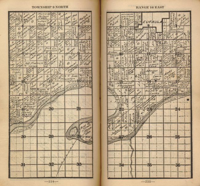
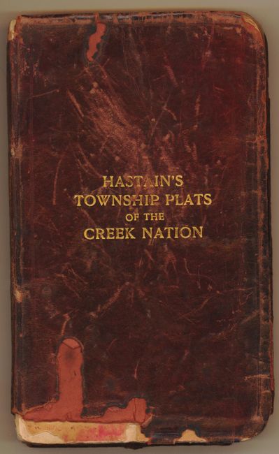
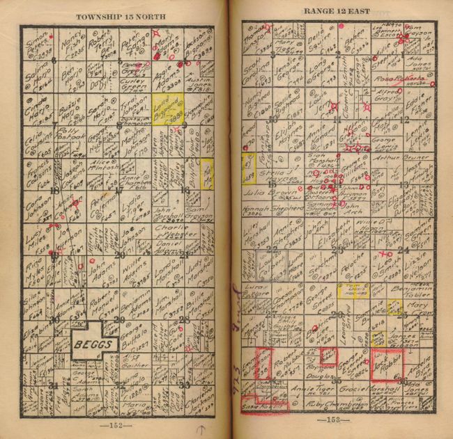
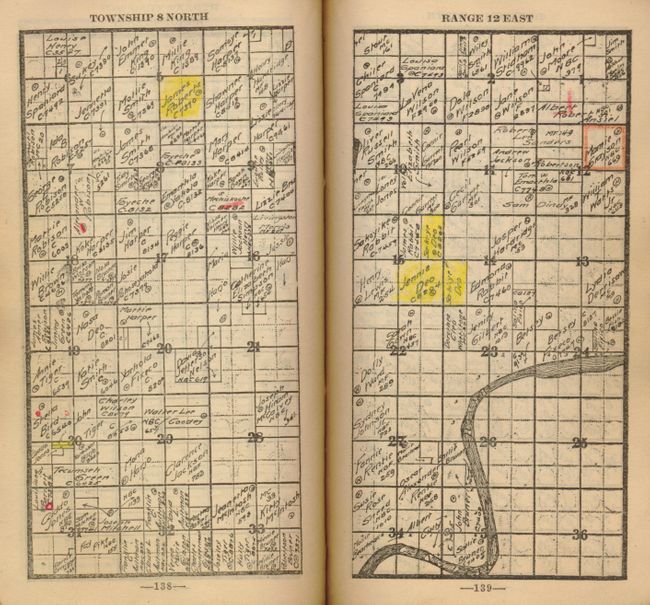
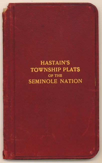
"[Lot of 2] Hastain's Township Plats of the Creek Nation [in set with] Hastain's Township Plats of the Seminole Nation",

Subject: Oklahoma, Atlases

Period: 1910-13 (dated)

Publication:

Color: Black & White

Size:
5 x 7 inches
12.7 x 17.8 cm
Download High Resolution Image
(or just click on image to launch the Zoom viewer)

Pair of rare atlases of township plats for the Seminole and Creek Indian Nations in Oklahoma. The Creek plat book is uncommon, and the Seminole atlas is scarce and rarely seen. Each page is a detailed plat map that names the land owner. 12mo volumes, with township plats, showing original land ownership. Seminole 60pp.; Creek 317pp. Published in Muskogee, Oklahoma.

Toward the end of the nineteenth century the United States government determined that the best way to reward the Five Civilized Tribes for their peaceful hard work and advancement was to relieve them of the burden of their tribal lands. Individual families were to receive fee simple allotments with the remaining land make available for homesteading. Enterprising whites had come into Indian Territory and saw their opportunity to acquire title to some of the Indian allotment lands. The discovery of oil and gas fields expedited this interest and there was a need to know who the landowners were and legal location of these tracts of land. This resulted in the compilation and publication of some early land atlases and indexes to land ownership by some local map publishers and compilers. Eddie Hastain (1869-1943) was an attorney who came to Muskogee, Indian Territory, around 1900. After becoming interested in land ownership of properties in Indian Territory, he compiled and published the two land ownership atlases offered here. These plat atlases provided a quick and factual reference to the original owners of these lands in Indian Territory. They were used by abstract and title firms, the legal profession, county clerks, the various land administrative offices of the Creek, Seminole, Cherokee, Choctaw and Chickasaw tribes, land investors and speculators, and even the Bureau of Indian Affairs (BIA). Hastain’s land ownership atlases were reasonably priced and small enough in size to be easily carried in a pocket for general reference purposes. Those interested in land investment opportunities whether for farming, industrial purposes or potential areas for coal, oil and gas fields, were the major purchasers of these publications. Hastain's atlases continue to be the best and easiest use for location the original land ownership titles and for historical research in eastern Oklahoma.

References:

Condition:

The Seminole atlas is near fine inside with shelf wear to cover and small parts of the spine missing top and bottom (A). The Creek atlas was a working copy owned by George McCoy Farms & Oil Lands. Virtually all pages have annotations made to many of the plots. Several other owner's names on blank end papers, up to 1924. Covers worn with some loss at lower front cover and spine. (B+)

Estimate: $1,000 - $1,400

Unsold

Closed on 6/1/2011

Archived