Catalog Archive
Auction 136, Lot 314

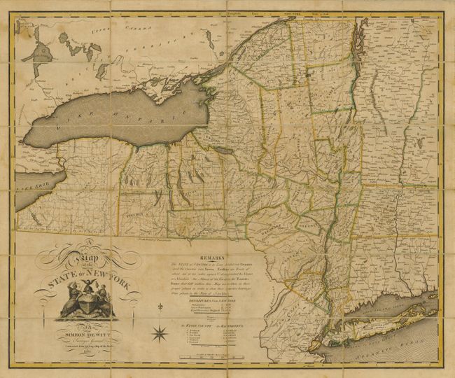
Pocket version of Simion de Witt's Landmark Map of New York

"A Map of the State of New York … Contracted from His Large Map of the State", Witt, Simeon de
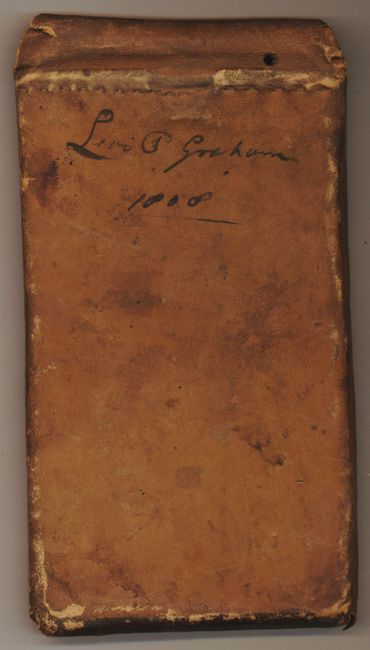
Subject: New York

Period: 1804 (dated)

Publication:

Color: Hand Color

Size:
27.3 x 22.3 inches
69.3 x 56.6 cm
Download High Resolution Image
(or just click on image to launch the Zoom viewer)

This folding map is a reduced version of De Witt's landmark (1802) map of New York, originally printed on six sheets. Simeon de Witt was a pioneer in American cartography. He played a central role in the economic development of the state during his tenure as Surveyor General of New York between 1784 and 1834. Even in reduced format, this map reflects the intensive surveying of upstate New York that was conducted following the American Revolution, much of it under De Witt’s oversight. This map is notable for showing the boundaries of all the counties and townships, and for being one of the first maps to show the distinctive outline of the state as we know it today. De Witt's maps were enormously influential and his overall depiction of New York's geography was not surpassed for decades. Dissected and mounted on original linen and encased in a leather slipcase. A previous owner's name (Levi P. Graham) and the date 1808 is written in black ink on the case. Graham was employed in surveying the canals of New York.

References: Ristow, pp. 73-83 & 103.

Condition: B+

Original outline color with minor overall toning and light stains in upper corners.

Estimate: $4,000 - $4,750

Unsold

Closed on 6/1/2011

Archived