Catalog Archive
Auction 136, Lot 283
"Ceded Part of Dakota Territory Showing Progress of U.S. Land Survey during 1862", U.S. State Surveys
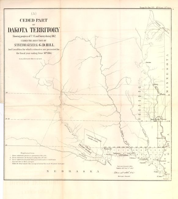
Subject: Dakota Territory
Period: 1864 (published)
Publication:
Color: Black & White
Size:
13.7 x 14 inches
34.8 x 35.6 cm
Download High Resolution Image
(or just click on image to launch the Zoom viewer)
(or just click on image to launch the Zoom viewer)