Catalog Archive
Auction 136, Lot 238

"Western Territories of the United States", Olney, Jesse

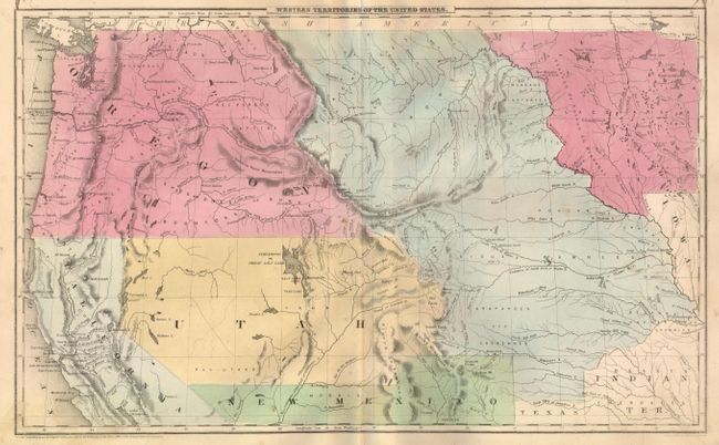
Subject: Western United States

Period: 1847 (dated)

Publication: Olney's Atlas: Comprising Modern and Ancient Geography…

Color: Hand Color

Size:
17.5 x 10.5 inches
44.5 x 26.7 cm
Download High Resolution Image
(or just click on image to launch the Zoom viewer)

This is a great map showing the transitional boundaries of the American West. Oregon and Washington Territories are massive, stretching all the way from the Pacific to the Rocky Mountains at the Continental Divide. The wide Utah Territory reaches across to the huge Nebraska Territory and extends from Canada's border down to Texas and Indian Territory. Minnesota is a large territory as well, this early edition not mentioning the Dacotahs. A Mormon settlement is noted on the Great Salt Lake - making this one of the earliest maps to mention the settlement, as Joseph Smith and his followers had just settled in this region in 1847. Copyright 1847 D.F. Robinson and drawn and engraved by Sherman & Smith, but published circa 1850.

References:

Condition: A

Very nice color and good impression. Some light marginal soiling and erased pencil marks in Utah, still very good.

Estimate: $200 - $300

Sold for: $240

Closed on 6/1/2011

Archived