Catalog Archive
Auction 136, Lot 138

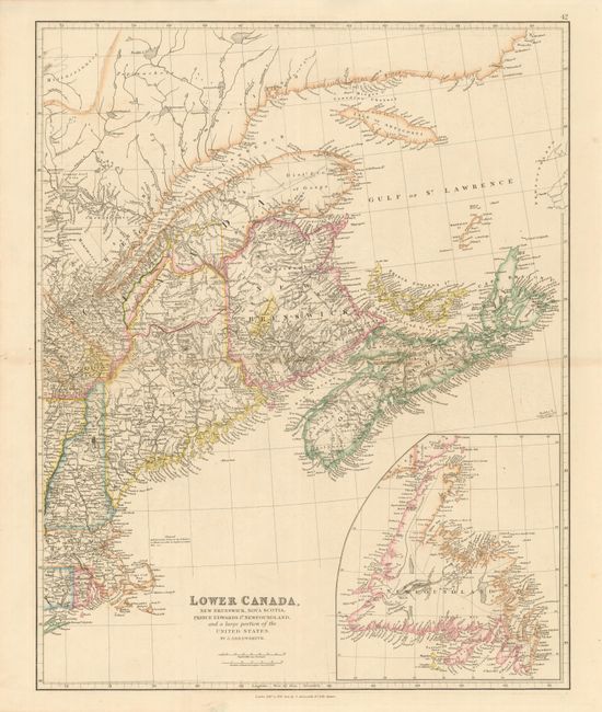
"Lower Canada, New Brunswick, Nova Scotia, Prince Edwards Id. Newfoundland, and a large portion of the United States", Arrowsmith, John

Subject: Canada & United States

Period: 1842 (dated)

Publication:

Color: Hand Color

Size:
19 x 23.6 inches
48.3 x 59.9 cm
Download High Resolution Image
(or just click on image to launch the Zoom viewer)

Map from the Gulf of St. Lawrence to Cape Cod. Includes the provinces of Nova Scotia, Prince Edwards Island, New Brunswick and a portion of Quebec and New England. There is also a large inset of Newfoundland. Each of the provinces and states have individual colors with nice detail of towns, rivers and railroads. In northern Maine and Quebec, the boundary claims for the United States and Britain have also been drawn in, along with the settled border. After years of dispute, both sides agreed to an arbiter and William I, King of the Netherlands, drew the final line in 1842.

References:

Condition: A

Nice example. Faint toning along fold and slight separation, but limited to blank margin.

Estimate: $200 - $250

Sold for: $210

Closed on 6/1/2011

Archived