Catalog Archive
Auction 136, Lot 114

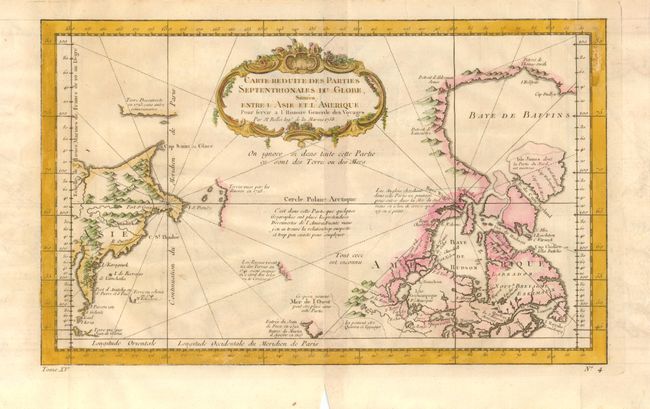
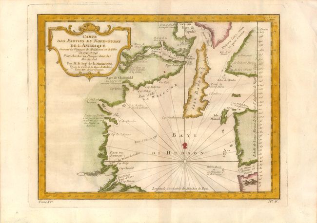
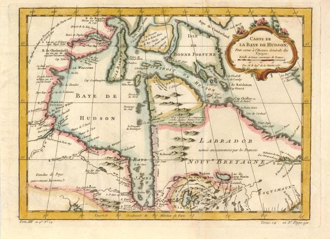
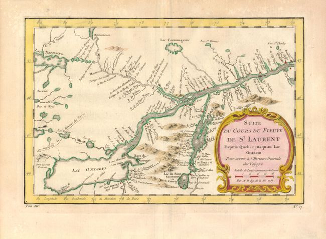
"[Lot of 4 - Canada]", Bellin, Jacques Nicolas

Subject: Canada

Period: 1750-1760 (circa)

Publication: Histoire General des Voyages

Color: Hand Color

Size:
See Description
Download High Resolution Image
(or just click on image to launch the Zoom viewer)

1)Carte Reduite des Parties Septentrionales du Globe, Situees Entre l'Asie et l'Amerique, 1758, (14.7 x 8.3"). Very unusual chart that shows only the northeast coastline of Canada with Baffin and Hudson Bay and the St. Laurence River. On the other side is the northeast coastline of Asia with the Kamchatka peninsula. In between are a few small areas of coastline with notations concerning reported explorations, including those of Juan de Fuca, the Russian expeditions in 1728 and 1741, the reported Sea of the West and the English quests for a Northwest Passage via the Hudson Bay. Ref: Kershaw #1115. Bottom margin is clipped at center.

2)Carte des Parties du Nord-Ouest de l'Amerique, 1753, (10.7 x 8.2"). Very nicely engraved chart that covers most of Hudson Bay. It locates Fort Prince of Wales and Fort York, the Ottawa Islands (here the Bakers Dozen), the track of Henry Ellis in 1746, Repulse Bay and Buttons Bay. Middleton explored Wager Inlet, Repulse Bay and the northern part of Roes Welcome in search of a Northwest Passage via Hudson Bay in 1746. Dated 1753, but published in 1759. At bottom left is "Tome XV" and at bottom right "No. 6". Ref: Kershaw #456. A condition.

3)Carte de la Baye de Hudson, 1757, (11.8 x 8.6"). This handsome chart of Hudson Bay and Labrador details mountains, coastal features, and numerous forts. There is a note in French in the far northwest corner of the map explaining that the English had searched for a Northwest Passage in that region, but it did not exist. This example closely matches La Harpe's, but the plate is entirely re-engraved, according to Kershaw. The pedigree of these maps are complex with examples published by Prevost, La Harpe, Harrevelt, and Raynal. At lower left is "Tom XIV. in 4o No. 14" and at lower right "Tome 14. in 8o. Page 191." Ref: Kershaw #461.

4)Suite du Cours du Fleuve de St. Laurent, 1757, (11.3 x 7.5"). A detailed map of the region between Lake Ontario and the St. Lawrence River to Quebec. The map extends to Lake Champlain and Lake George, as well as Lake Nepessing in Michigan, with numerous portages named on the interconnecting waterways. Locates Montreal. There are a number of forts named, including Ft. Toronto, Ft. Oswego, and Ft. Georges. A rococo-style title cartouche encloses the distance scale. At lower left: "Tom XIV" and lower right "No. 17". Ref: Kershaw #631.

References:

Condition: A

Estimate: $400 - $600

Sold for: $325

Closed on 6/1/2011

Archived