Catalog Archive
Auction 135, Lot 799

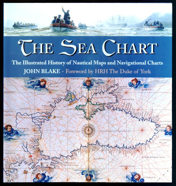
"[Lot of 3] Sea Charts of the Early Explorers [and] The Sea Chart The Illustrated History of Nautical Maps and Navigational Charts [and] The Charting of the Oceans - Ten Centuries of Maritime Maps", Various

Subject: Reference Books

Period: 1984-2004 (published)

Publication:

Color:

Size:
See Description
Download High Resolution Image
(or just click on image to launch the Zoom viewer)
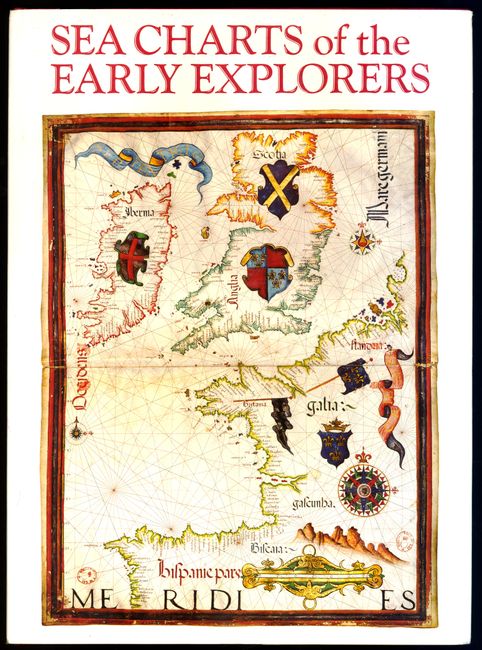
1) Sea Charts of the Early Explorers, written by a team of experts with the introduction by Michel Mollat du Jourdin and notes on the plates by Monique de La Ronciere. Translated from French and published by Thames and Hudson, 1984. A beautiful book that tells the story of the earliest explorers and the portolan charts that record their discoveries. 298 pp. with 120 illustrations, 100 in color. Hardbound in burgundy cloth with pictorial dust jacket.

2) The Sea Chart The Illustrated History of Nautical Maps and Navigational Charts, by John Blake, published by Conway Maritime Press, 2004. This book examines the history of the sea chart in both aesthetic and scientific terms. Chapters are organized along chronological and geographical lines. Each one opens with a succinct history of the charting of a particular area, and is followed by a sumptuous plate section of significant charts that support the text. 160 pp. with numerous colored illustrations. Hardbound in blue buckram with pictorial dust jacket.

3) The Charting of the Oceans - Ten Centuries of Maritime Maps, by Peter Whitfield, published by the British Library, 1996. A handsome and well written history about the sea chart in exploration, navigation and war. Beautifully illustrated in color throughout. 136 pp, illustrated in color. Hardbound in blue buckram with pictorial dust jacket.

References:

Condition: A+

Estimate: $200 - $240

Sold for: $200

Closed on 2/16/2011

Archived