Catalog Archive
Auction 135, Lot 797

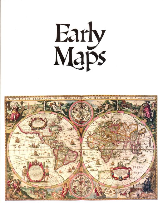
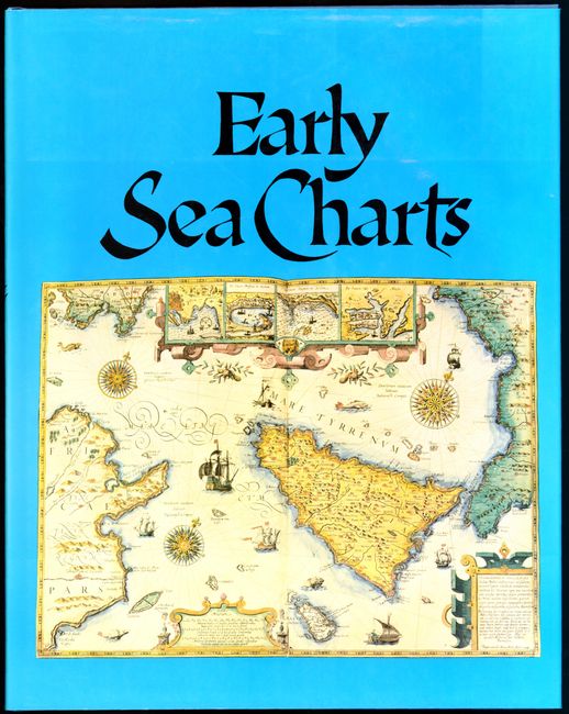
"[Lot of 2] Early Maps [and] Early Sea Charts", Various

Subject: Reference Books

Period: 1981-83 (published)

Publication: Abbeville Press

Color:

Size:
12.3 x 15.3 inches
31.2 x 38.9 cm
Download High Resolution Image
(or just click on image to launch the Zoom viewer)

1) Early Maps, by Tony Campbell, 1981. This publication contains an array of early maps, municipal plans, and sea charts from the 13th century to the 1850's. Each plate is accompanied by information on the cartographer and an explanation of the political developments and geographical discoveries that influenced the map's design. Hardbound in green cloth with gilt letters on spine and illustrated original dust-wrapper. 148 pp., 68 color plates, several foldouts.

2) Early Sea Charts, by Robert Putman, 1983. A companion to the above, this book examines sea charts from the 14th to 18th centuries, with a good commentary on each. 143 pp, with 76 plates, full-page and double-page reproductions of sea charts in full color and black-and-white text illustrations. Hardbound in blue cloth with blind-stamped title on front cover and gilt-stamped spine title, illustrated dust jacket.

References:

Condition: A

Estimate: $100 - $150

Sold for: $75

Closed on 2/16/2011

Archived