Catalog Archive
Auction 135, Lot 713
"Tartariae sive Magni Chami Regni Typus", Ortelius/Galle
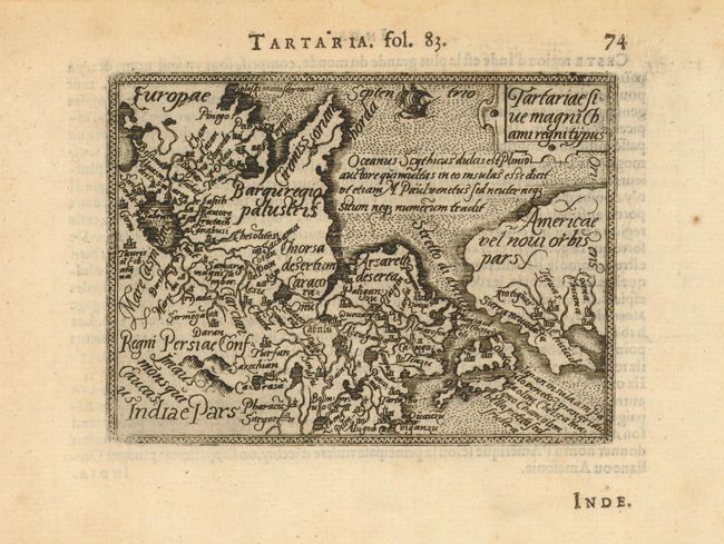
Subject: Northern Asia, North Pacific, and Northwestern North America
Period: 1583 (published)
Publication: Epitome
Color: Black & White
Size:
4.3 x 3.2 inches
10.9 x 8.1 cm
Download High Resolution Image
(or just click on image to launch the Zoom viewer)
(or just click on image to launch the Zoom viewer)