Catalog Archive
Auction 135, Lot 471
"Transisalania Dominum vernaclue Over-Yssel", Merian, Matthaus
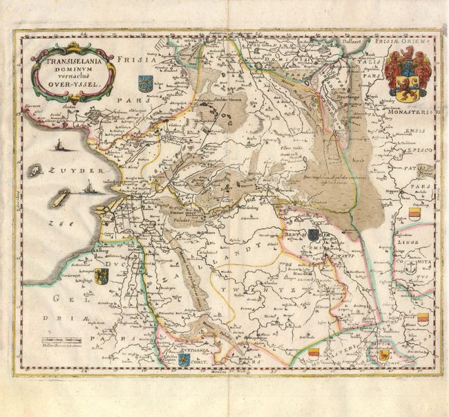
Subject: Netherlands
Period: 1660 (circa)
Publication:
Color: Hand Color
Size:
12.4 x 10 inches
31.5 x 25.4 cm
Download High Resolution Image
(or just click on image to launch the Zoom viewer)
(or just click on image to launch the Zoom viewer)