Catalog Archive
Auction 135, Lot 449

"Carte Reduite des Isles Britanniques en Cinq Feuilles ... Premiere Feuille Partie Meridionale de l'Angleterre", Bellin, Jacques Nicolas

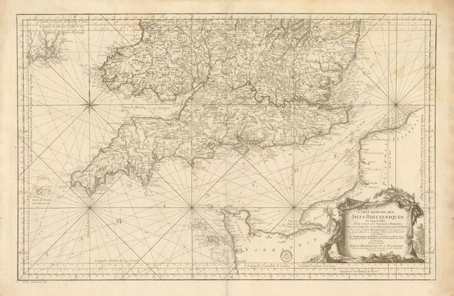
Subject: England & Wales

Period: 1757 (dated)

Publication: Hydrographie Francoise

Color: Black & White

Size:
34 x 21.8 inches
86.4 x 55.4 cm
Download High Resolution Image
(or just click on image to launch the Zoom viewer)

This is a superb, large-scale chart of southern England and part of the coast of France. The map extends as far north as Norwich and Wales. Locates London, Oxford, Coventry, Cardiff, Lands End, etc. Shows all of the islands of Scilly, Guernsey and Jersey and all of the northern coast of France to Flanders. The map is filled with incredible detail, both along the coastline and in the interior with scores of towns and villages located and wagon roads delineate. This map is distilled from Bellin's larger, separate maps of the British Isles. The chart is embellished by a large scenic title cartouche, rhumb lines and compass rose. The map has the stamp of the Depot de la Marine and the cost is engraved as Prix, cinquante sols below the border.

References:

Condition: B+

Beautiful impression on thick paper with full margins. Light water stain along upper border and just entering map.

Estimate: $300 - $400

Sold for: $170

Closed on 2/16/2011

Archived