Catalog Archive
Auction 135, Lot 414

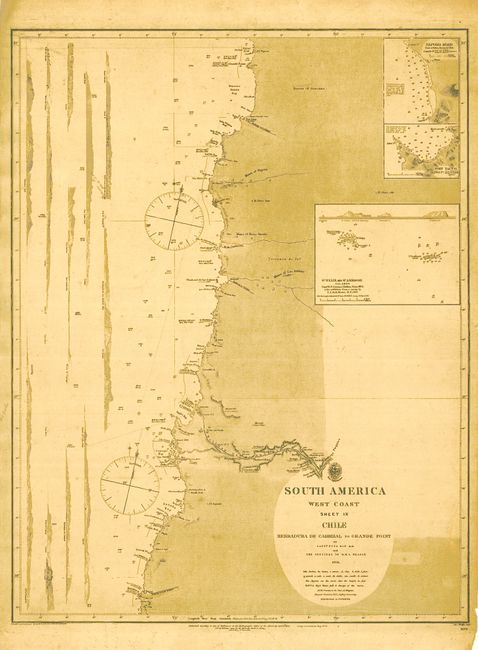
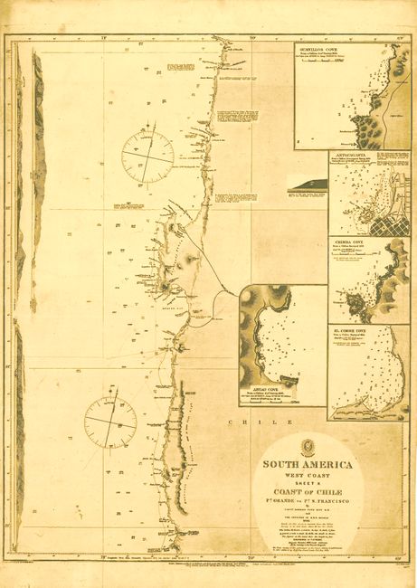
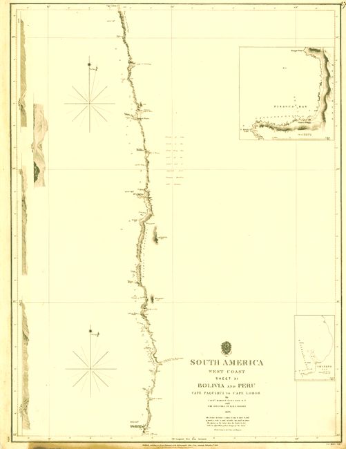
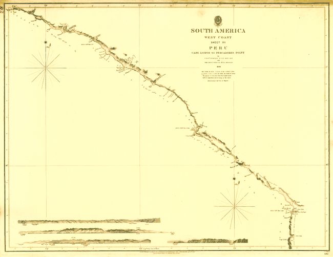
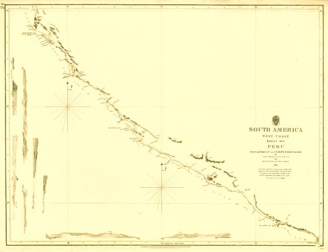
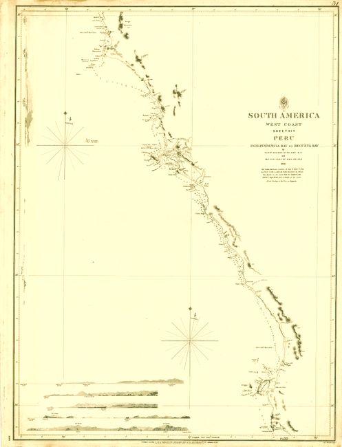
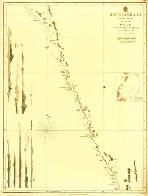
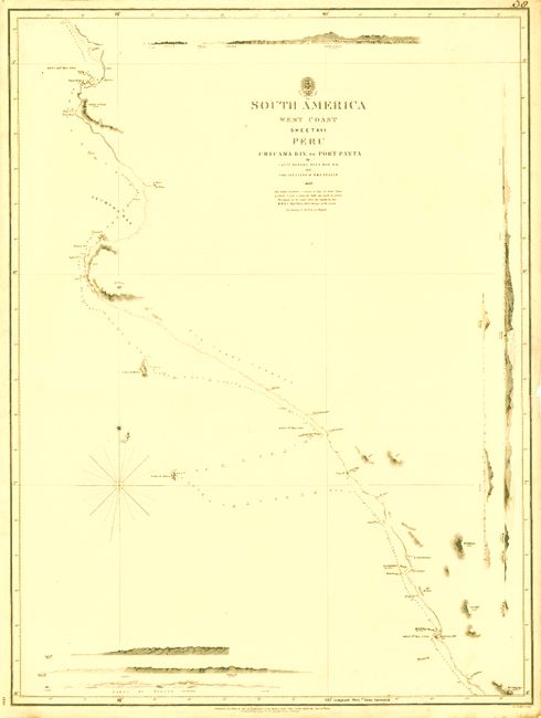
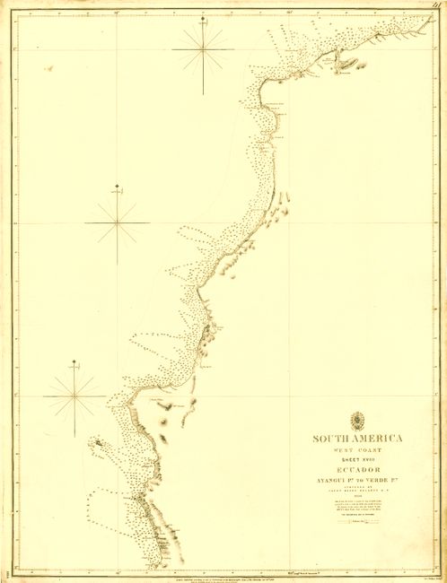
"[Lot of 9 - South America]", British Admiralty

Subject: Western South America

Period: 1840-18

Publication:

Color: Black & White

Size:
See Description
Download High Resolution Image
(or just click on image to launch the Zoom viewer)

This lot of working British Admiralty Hydrographic Office charts cover much of the west coast of South America. All have costal approach elevations (with the exception of Sheet XVIII Ecuador) to assist the mariner, plus sailing notes, soundings, tidal notes, magnetic variation rose, and more. Charts are from the 1836 surveys of Captain Robert Fitz Roy and the officers of the HMS Beagle, and those of Captain Henry Kellet, Royal Navy. The lot includes:

1) South America West Coast Sheet IX Chile Herradura de Carrizal to Grande Point,1835, (18.7 x 24.3"). Includes three inset plans of Paposo Road; Port Taltal; and St. Felix and St. Ambrose Islands. This chart uses the 1835 base chart, updated to 1840 with "Large corrections Aug. 1875." Eleven coastal approach views along side. Inland the chart locates the railway to Puquios and several others, plus the mining regions of Las Animas, Paposo, and Hueso Parado.

2) South America West Coast Sheet X Coast of Chile Pt. Grande to Pt. S. Francisco, 1836, (18.7 x 24.3"). Includes five inset plans of Guanillos Cove; Antofagasta; Chimba Cove; El Cobre Cove; and Abtao Cove. Large corrections to 1894.

3) South America West Coast Sheet XI Bolivia & Peru Cape Paquiqui to Cape Lobos, 1840, (18.5 x 24.5"). With two inset charts: Pisagua Bay; and Chipana Bay.

4) South America West Coast Sheet XII Peru Cape Lobos to Pescadores Point, 1840, (24.5 x 18.6"). Based on the 1836 surveys the chart includes four coastal approach views.

5) South America West Coast Sheet XIII Peru Pescadores Pt. To Independencia Bay, 1840, (24.4 x 18.4"). Again, based on the 1836 surveys. With eight approach views.

6) South America West Coast Sheet XIV Peru Independencia Bay to Begueta Bay, 1839, (18.4 x 24.8"). The 1836 survey with additions to 1839. Five coastal approach views. Lima is well shown near the center.

7) South America West Coast Sheet XV Peru Begueta Bay to R. Chicama, 1840, (18.5 x 24.5"). Eight coastal approach views.

8) South America West Coast Sheet XVI Peru. Chicama Riv. to Port Payta, 1841, (18.4 x 24.6"). For approach views.

9 South America West Coast Sheet XVIII Equador Ayangui Pt. To Verde Pt., 1847, (18.4 x 24.4"). Coastline of Ecuador is detailed with a large number of soundings along its length.

References:

Condition: B+

Charts vary good to very good. All with even age toning.

Estimate: $350 - $450

Sold for: $250

Closed on 2/16/2011

Archived