Catalog Archive
Auction 135, Lot 370

"A New Map of Jamaica in which the Several Towns, Forts & Settlements are Accurately Laid down…", Bowles, Carrington
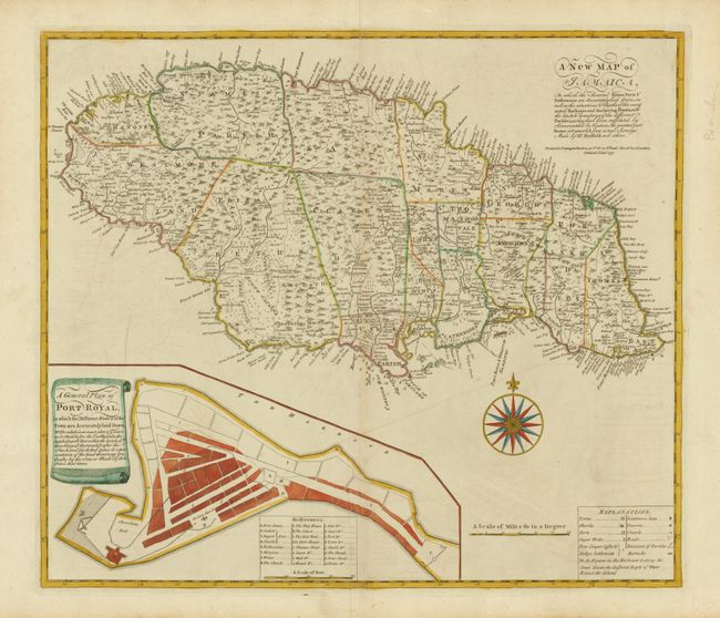
Subject: Jamaica

Period: 1771 (dated)

Publication:

Color: Hand Color

Size:
22 x 19 inches
55.9 x 48.3 cm
Download High Resolution Image
(or just click on image to launch the Zoom viewer)

This handsome map of Jamaica is a reduced version of Patrick Browne's important large-scale map of the island, which was drawn from the surveys of Mr. Sheffield. It includes a vast amount of information including topographical details, parish boundaries, roads, towns, churches, forts, taverns, crawls (hog pens), settler's names, plantations (with notations on the dominant crops - sugar, ginger, coffee and indigo). Along the coastline there are a few soundings, safe anchorages and navigational hazards noted. A large inset provides a plan of Port Royal that shows the infamous pirate stronghold both before and after the earthquake that destroyed much of the town in 1692.

References: Kapp (MCC-42) #69; cf Sellers & Van Ee #1926

Condition: B+

Original color with some faint offsetting and a printer's crease along the centerfold, else very good.

Estimate: $750 - $900

Sold for: $450

Closed on 2/16/2011

Archived