Catalog Archive
Auction 135, Lot 364

"Carte des Isles de la Jamaique et de St. Domingue", Tardieu, Antonie Francois

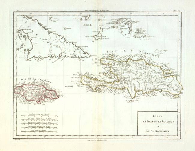
Subject: Hispaniola, Jamaica & Cuba

Period: 1797 (circa)

Publication:

Color: Hand Color

Size:
16.5 x 12.6 inches
41.9 x 32 cm
Download High Resolution Image
(or just click on image to launch the Zoom viewer)

This chart of the Greater Antilles focuses on Jamaica and Hispaniola and includes the eastern portion of Cuba and part of the Bahamas. Two standards are used to measure longitude: Paris and the Isle de Fer in the Canary Islands. The Canary Island standard was first proposed by Ptolemy when it was the western boundary of the known world. Various islands in the Atlantic Ocean and capital cities such as Paris, London and Washington were used as zero longitude. In 1634, Cardinal Richelieu proposed the Ile de Fer as a standard prime meridian to be recognized by all nations. However, as evidenced on this map, cartographers continued to use their nation's capital until the Greenwich Meridian was finally established at the International Meridian Conference in 1884. A simple box title cartouche and five distance scales fill the lower corners of the map.

References:

Condition: A+

Fine impression on a full sheet with very wide margins and a grape cluster watermark. Apparent light centerfold toning is actually show-through from the backstrap.

Estimate: $150 - $200

Unsold

Closed on 2/16/2011

Archived