Catalog Archive
Auction 135, Lot 330

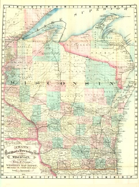
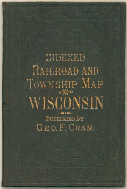
"Cram's Railroad & Township Map of Wisconsin", Cram, George F. & Company

Subject: Wisconsin

Period: 1879 (dated)

Publication:

Color: Hand Color

Size:
16 x 20.5 inches
40.6 x 52.1 cm
Download High Resolution Image
(or just click on image to launch the Zoom viewer)

This rare map is the pocket edition from the first edition of Cram's celebrated Standard American Atlas of the United States. All counties are delineated and scores of towns and villages are located and named. The map extends to show all of the state except the very tip of Door County. The extensive railway system is delineated and named with lines reaching L'Anse at Keweenaw Bay, to Ashland at Chequamegon Bay. There is an isolated line between Hancock and Eagle River in the far north. This map is identical to the map in the atlas including the fancy Victorian-style letting in the title and carries Cram's copyright date 1878. The imprint is Cram's Western Map Depot, 66 Lake St. Chicago, Ills. There was a close relationship between the Cram and Watson firms, who also published from this address. This Lake Street address was the home to Cram's publishing company between 1873 and 1879, thereafter moving to Wabash Avenue. The map folds into the original brown cloth covers with embossing and gilt title. Complete with the 20 page index. An early and rare issue from George Cram.

References:

Condition: A+

The map is near fine with just a little discoloration where pasted into the cover. The covers and booklet are also flawless.

Estimate: $300 - $400

Sold for: $375

Closed on 2/16/2011

Archived