Catalog Archive
Auction 135, Lot 321

"Vermont from the Latest Authorities", Reid, John
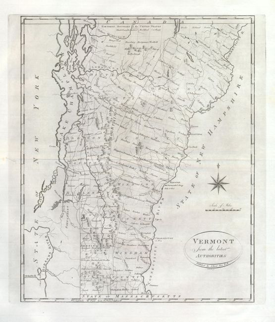
Subject: Vermont

Period: 1796 (published)

Publication: The American Atlas

Color: Black & White

Size:
13.5 x 16.5 inches
34.3 x 41.9 cm
Download High Resolution Image
(or just click on image to launch the Zoom viewer)

This map is the first state of Reid's map of Vermont which was copied from Mathew Carey's Vermont from the latest Surveys, 1795. The map shows the state divided into seven counties and further divided into townships, all named. Shows topography, watershed, towns and a surprisingly large network of early wagon roads. Locates and names Dartmouth College. The Ottauquechee River is here called the Waterguechec R. Large compass rose rests in the Atlantic. This map was also published in Winterbotham's America and in the [Vermont] State Papers where is was the frontis. Engraved by Roberts.

References: Wheat & Brun #198.

Condition: A

Mint example with fine impression, clean paper and wide margins. Fine condition except for a short split on centerfold in left margin.

Estimate: $450 - $550

Sold for: $325

Closed on 2/16/2011

Archived