Catalog Archive
Auction 135, Lot 320

"Specialkarte des Grossen Salzsee's von Utah", Petermann, Augustus Herman
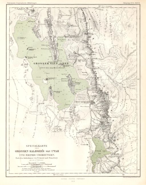
Subject: Utah

Period: 1858 (dated)

Publication:

Color: Hand Color

Size:
7.5 x 9.5 inches
19.1 x 24.1 cm
Download High Resolution Image
(or just click on image to launch the Zoom viewer)

Early map of the central portion of Utah along the Wasatch Mountains. Centered on Salt Lake City, the map extends to the nascent Mormon communities of Ogden City, Brighams City and south to well below Provo. Brighams City is alternately here called Box Elder, a reference to the creek and early fort of the same name. South of SLC the Welsh Settlement is located. Also locates Tooele Settlement, Farmington, Keysville, but it does not name Logan though it appears to extend far enough. Shows all of the Great Salt Lake including Antelope Island and extends east beyond the spine of the mountains to show good detail of the many creeks and rivers in the vicinity of Park City. Very finely engraved as we are accustomed to seeing from this series of German produced maps.

References:

Condition: A

Near flawless example on bright paper with very nice impression and full margins.

Estimate: $120 - $180

Sold for: $140

Closed on 2/16/2011

Archived