Catalog Archive
Auction 135, Lot 313

"Caroline Meridionale", Buchon, Jean Alexandre

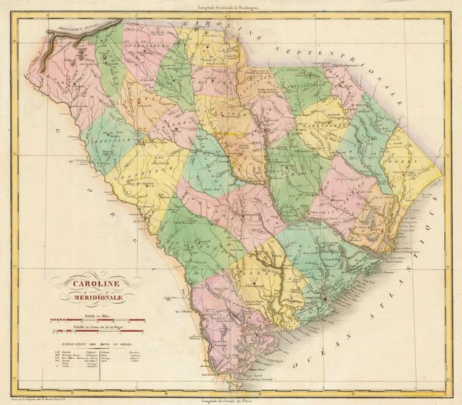
Subject: South Carolina

Period: 1825 (published)

Publication: Atlas Geographique, statistique, historique et chronologique des deux Ameriques

Color: Hand Color

Size:
14.3 x 12.5 inches
36.3 x 31.8 cm
Download High Resolution Image
(or just click on image to launch the Zoom viewer)

This handsome map of South Carolina shows the 28 counties along with settlements, forts, early roads, canals, battlefields and Indian villages. A key provides symbols for the locations of churches, meeting houses, post offices, schools, ponds, creeks, inlets, swamps, springs (swash), and fords. Buchon's atlas is often called the French Carey & Lea, and it was printed on better quality paper than the maps issued from Philadelphia. This map has been trimmed from the folio sheet that contained panels of French text, leaving adequate margins all around.

References:

Condition: B+

The centerfold has been reinforced on verso and the margins trimmed.

Estimate: $240 - $300

Unsold

Closed on 2/16/2011

Archived