Catalog Archive
Auction 135, Lot 300

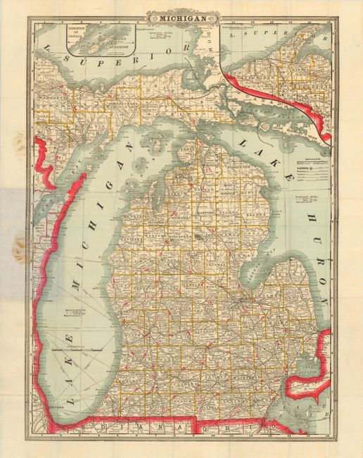
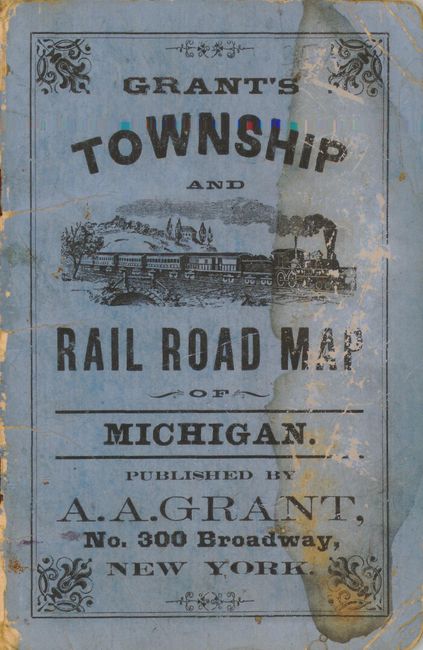
"Grant's Township and Rail Road Map of Michigan", Grant, A. A.

Subject: Michigan

Period: 1883 (circa)

Publication:

Color: Printed Color

Size:
16.2 x 22.8 inches
41.1 x 57.9 cm
Download High Resolution Image
(or just click on image to launch the Zoom viewer)

This is a very detailed and scarce pocket map of Michigan published by A.A. Grant, No. 300 Broadway, New York. The handsome map is surrounded by a banknote-style border and is printed on high quality paper. The map is a Cram publication which was designed to be 'published' by others. The large scale map is very detailed. Includes the Upper Peninsula with the western tip in an inset above. A second inset details the area around Isle Royale. Blank verso. The map folds into stiff printed paper covers with an early locomotive steaming through the countryside. The back cover states "This Pocket map is printed from one of the plates of Grant's Railroad and Business Atlas". There is a 46 page index and a 9 pages of testimonials for "Cram's Unrivaled Atlas of the world". The index is titled "Index to Cram's Map of Michigan." The map was dated using the testimonials dated to May 1883 and the fact that Luce County in the Upper Peninsular, founded in 1887, is not present.

References:

Condition: A

The map and index are fine and appear as new except for a small area of stain where attached to the cover. The stiff paper covers have bumped corners, some wear and stains but otherwise are sound.

Estimate: $200 - $250

Sold for: $250

Closed on 2/16/2011

Archived