Catalog Archive
Auction 135, Lot 295

"Boston Harbor, Mass.", U.S. Army

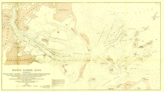
Subject: Boston, Massachusetts

Period: 1900 (dated)

Publication: H Doc 119, 56th Cong., 2d Sesson

Color: Black & White

Size:
43 x 24 inches
109.2 x 61 cm
Download High Resolution Image
(or just click on image to launch the Zoom viewer)

This large and highly detailed chart provides remarkable amount of harbor information with hundreds of soundings, constant depth lines, the location of rocks, shoals and ledges, beacons and light houses, also naming and delineating shipping channels. The map includes part of Boston, but the nautical information begins at the Chelsea and Charles River bridges. The title continues "Project for a Channel Thirty-five Feet Deep at Mean Low Water from the Navy-yard at Charlestown and the Chelsea Bridge and Charles River Bridge to President Roads and from President Roads through Broad South Channel to the Ocean…" The map was prepared in accordance with the River and Harbor Act of June 6, 1900 under the direction of Col. Chas. R. Suter, Corps of Engineers by T.T. Hunter Harwood, Asst. Engineer.

References:

Condition: A+

Folding as issued. Virtually flawless save for a very light area of folding toning.

Estimate: $150 - $200

Sold for: $85

Closed on 2/16/2011

Archived