Catalog Archive
Auction 135, Lot 145

"Vereinigte Staaten von Nord-America", Stieler, Adolph

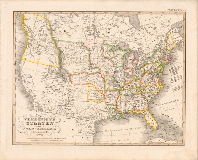
Subject: United States

Period: 1834 (dated)

Publication: Hand-Atlas Uberalle…

Color: Hand Color

Size:
15.4 x 12 inches
39.1 x 30.5 cm
Download High Resolution Image
(or just click on image to launch the Zoom viewer)

This interesting map of the United States shows the development of the United States up to the Mississippi River with Michigan and Arkansas Territories and several Indian Districts in the west. The Oregon District stretches into present-day Canada, reflecting the conflict with Britain over the region. The West Coast is labeled Californien, Neu Californien and , Neu Albion. There are numerous missions located throughout California. A large loop trail is shown connecting Santa Fe with several towns along the western slope of the Rocky Mountains and the Timpanogos and Tegujo seas. This loop trail is the route of Father Silvestre Velez de Escalante, a Spanish Franciscan missionary, who in 1776-77 setout from Santa Fe seeking a northern route to Monterey in California. A conjectural river flows from the Timpanogos See into San Francisco Bay, else the region of present-day Nevada and northern California is completely blank.

References:

Condition: A

Original color with minor soil in the blank margins.

Estimate: $275 - $325

Sold for: $180

Closed on 2/16/2011

Archived