Catalog Archive
Auction 135, Lot 135

"British North America", Hall, Sidney
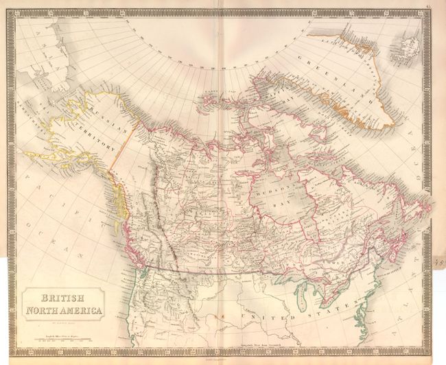
Subject: Canada and United States

Period: 1848 (circa)

Publication: A New General Atlas

Color: Hand Color

Size:
20 x 16.3 inches
50.8 x 41.4 cm
Download High Resolution Image
(or just click on image to launch the Zoom viewer)

While focused on Canada, this map includes much of the United States with good detailed in the Oregon Territory that had only recently been claimed by Britain. All the provinces in Canada are delineated and named and the map is filled with information including watershed and many small settlements. In present-day British Columbia the coastal areas are called New Norfolk, New Cornwall and New Hanover. The Yukon is blank and unnamed, not New Georgia as it will be on later editions. The map extends to include Greenland and Iceland, and in the west Alaska is the Russian Territory. Oregon Territory is named and shown extending to the Rockies. The US/Canadian boundary is correctly shown. Boldly engraved keyboard style border. Published by Longman & Co.

References:

Condition: B+

Very nice example with good impression and original color. A little faint offsetting in blank oceans. The map is trimmed nearly to border at lower right and left to create an atlas tab with page number 45 in manuscript black ink, as issued.

Estimate: $200 - $250

Unsold

Closed on 2/16/2011

Archived