Catalog Archive
Auction 135, Lot 104

"North America", Hall, Sidney
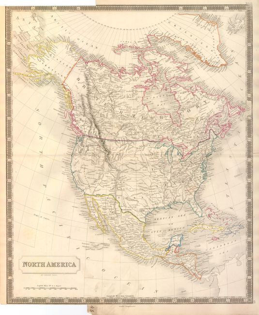
Subject: North America

Period: 1848 (circa)

Publication: A New General Atlas

Color: Hand Color

Size:
10 x 14.8 inches
25.4 x 37.6 cm
Download High Resolution Image
(or just click on image to launch the Zoom viewer)

This beautifully engraved chart shows the newly created state of Texas and a pre-Gadsden Purchase border with Mexico. Map extends to include Cuba, Jamaica, St. Domingo, and all of Central America. This is the first edition of this map to correctly show the western boundary with Canada. As a British mapmaker, Hall's earlier editions places the boundary well into the United States to the Columbia River. Alaska is still Russian Territory. The states and provinces are not delineated, but some regions are labeled including Texas, Oregon, New Mexico, New California, and New Albion. East of the Rockies the huge area is largely unnamed except for locating rivers, the Rocky Mountains, many place names, and a large number of Indian villages. Surrounded in a bold keyboard style border. Published by Longman & Co.

References:

Condition: B+

Some light smudges along lower border. The map is trimmed nearly to border at upper and lower left to create an atlas tab with page number 43 in manuscript black ink, as issued.

Estimate: $160 - $200

Unsold

Closed on 2/16/2011

Archived