Catalog Archive
Auction 134, Lot 93

"The World on Mercators Projection, Western Part", Pinkerton, John

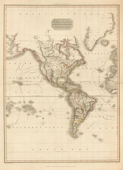
Subject: Western Hemisphere

Period: 1812 (dated)

Publication: Pinkerton's Modern Atlas

Color: Hand Color

Size:
20 x 27.2 inches
50.8 x 69.1 cm
Download High Resolution Image
(or just click on image to launch the Zoom viewer)

Large and visually stunning map of the Western Hemisphere from this uncommon atlas. Beautifully engraved to show the continents in surprising detail. The routes and dates of exploration by Captains Cook, Clarke, Vancouver and La Perouse are delineated. Shows all islands in the South Pacific to 180° W longitude. Good detail along the northwest coast of America to include the majority of the Aleutians. In the southern Atlantic, both South Georgia and South Sandwich Islands appear, although Sandwich Land appears as a mostly contiguous coastline rather than a chain of islands. The map was drawn under Mr. Pinkerton's direction by L. Hebert and published by Cadell & Davies Strand & Longman, Hurst, Rees, Orme & Brown.

References:

Condition: A

Very nice example with no flaws in the image save for short clean splits at edges of centerfold, the right one just enters the map, closed on verso.

Estimate: $160 - $200

Sold for: $80

Closed on 12/1/2010

Archived