Catalog Archive
Auction 134, Lot 87

"L'Amerique divisee en ses principaux Etats, Assujetie aux Observations Astronomiq", Janvier/Lattre

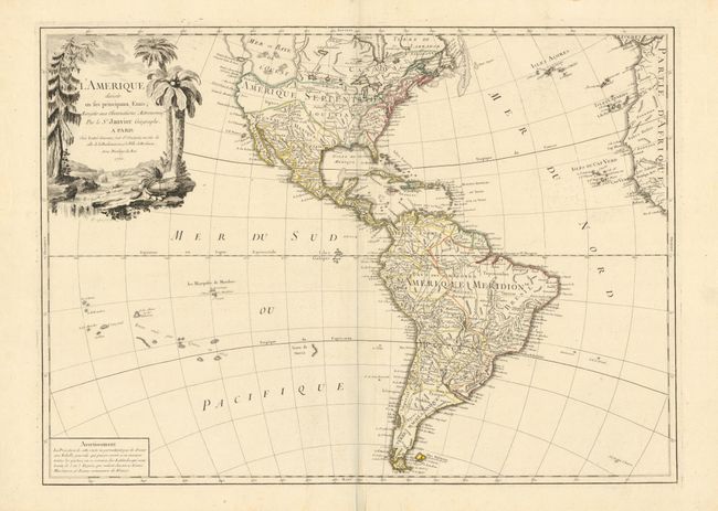
Subject: Western Hemisphere

Period: 1760 (dated)

Publication:

Color: Hand Color

Size:
25.8 x 18.6 inches
65.5 x 47.2 cm
Download High Resolution Image
(or just click on image to launch the Zoom viewer)

The most striking feature of this large, handsome map of North and South America is the huge Sea of the West. It is so massive that the northern portion of this mythical sea is not shown. Two entrances from the Pacific are noted: by Juan De Fuca in 1592 and by Martin d'Aguilar in 1603. It is connected by a series of rivers to Hudson Bay in the north and nearly connects to the Mississippi River in the south, thus presenting one of the most elaborate Northwest Passages of maps from this period. The balance of the map includes a myriad of information. The large decorative title cartouche shows a stream filled with unusual beaver dams and pine trees on one bank and palm trees on the other.

References:

Condition: A+

Nice impression with original outline color. Fine even thought there are some minor stains in the blank margins, well away from the map.

Estimate: $700 - $850

Sold for: $600

Closed on 12/1/2010

Archived