Catalog Archive
Auction 134, Lot 76

"Descripcion de las Yndias Ocidentalis", Herrera y Tordesillas, Antonio de

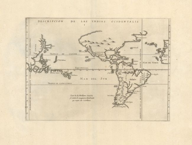
Subject: Western Hemisphere

Period: 1622 (published)

Publication: Novus Orbis, sive Descriptio Indiae Occidentalis

Color: Black & White

Size:
12.4 x 9 inches
31.5 x 22.9 cm
Download High Resolution Image
(or just click on image to launch the Zoom viewer)

This uncommon map was originally created by Antonio de Herrera y Tordesillas, who was the official historian of Castile and the Indies. He compiled a history of the Spanish conquests and early explorations in the Americas, that included this simple, but elegantly engraved map of the Americas and the Pacific extending to the Spanish interests in the Philippines. Korea is shown as an island and is named here Cory, North America is truncated with a peninsular California and the Sierra Nevadas comprise the northern coast. South America is separated from the partial coastline of the unknown southern continent by the Strait of Magellan. The map is largely derived from the manuscript charts of Juan Lopez de Velasco. The lines of Spanish-Portuguese demarcation are shown, dividing the non-Christian world into spheres of influence. Being Spanish in origin, this map places the Philippines and Moluccas too far east, thus into the Spanish region. This is the second plate published by Michiel Colijn.

References: Burden #196.

Condition: A

Wide original margins and a nice impression. There are some minor paper flaws not affecting the map.

Estimate: $1,000 - $1,400

Sold for: $850

Closed on 12/1/2010

Archived