Catalog Archive
Auction 134, Lot 756

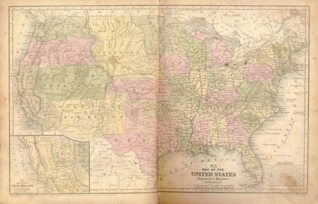
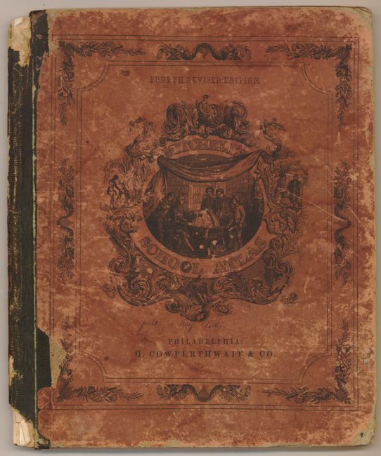
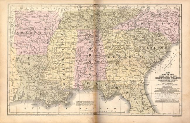
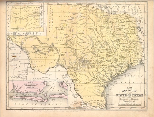
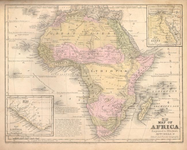
"Mitchell's School Atlas: Comprising the Maps and Tables Designed to Accompany Mitchell's School and Family Geography", Cowperthwait, Desilver & Butler

Subject: Atlases

Period: 1855 (dated)

Publication:

Color: Hand Color

Size:
10 x 12 inches
25.4 x 30.5 cm
Download High Resolution Image
(or just click on image to launch the Zoom viewer)

A nice example of Mitchell's famous school atlas containing 32 maps (on 18 sheets) along with tables and statistics. The map of the United States features large western territories and shows a Gadsden Purchase border with Mexico. The map of the Gold Region in California, inset into the map of the U.S., contains the names of numerous important gold mining towns in central California. The atlas also includes the desirable No. 13 Texas map. Hardbound with pictorial paper over boards. This is the fourth revised edition, published by Cowperthwait, Desilver & Butler.

References: Wheat (TMW) #793; Wheat (Gold) #226.

Condition: B

The boards and spine are worn and abraded with top and bottom of spine missing about 1 inch. The maps are sound and generally B+ or A but the North America and Untied States have extensive foxing or soiling. The map of Texas is very nice with just a small and diffuse foxing mark at lower center just above the border.

Estimate: $200 - $400

Sold for: $160

Closed on 12/1/2010

Archived