Catalog Archive
Auction 134, Lot 753

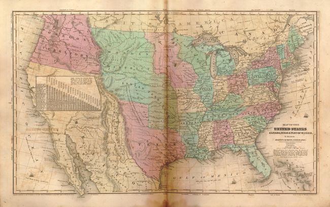
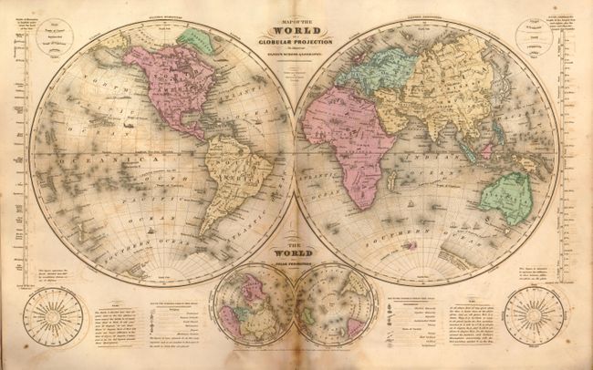
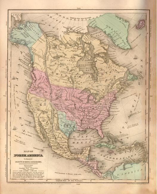
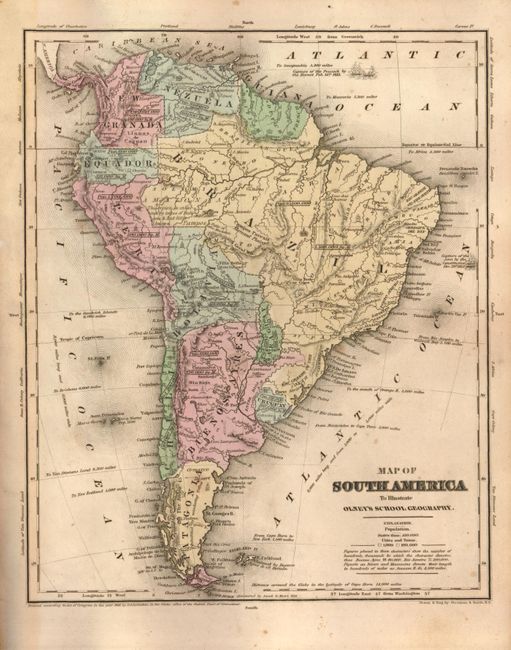
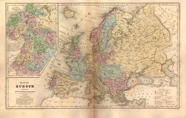
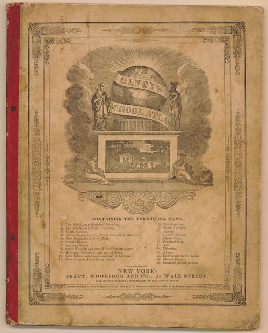
"Olney's School Atlas", Olney, A. N.

Subject: Atlases

Period: 1844 (published)

Publication:

Color: Hand Color

Size:
9.8 x 12.4 inches
24.9 x 31.5 cm
Download High Resolution Image
(or just click on image to launch the Zoom viewer)

The United States and Great Britain established in 1818 joint claim over the Oregon Territory - the region north of Spanish controlled Upper California up to the southern boundary of Russia's Alaska Territory at North latitude 54°40'. By the late 1830's this arrangement was beginning to fall apart. In the 1840's the expansionist Democrats, including their 1844 presidential candidate, James Polk, claimed the entire region for the United States. Their expansionist desires were expressed by Polk's famous campaign slogan, "Fifty-four Forty or Fight!" The slogan also became a rally cry for Americans desiring to settle the territory. Following Polk's election, the dispute was resolved by the 1846 Treaty of Oregon, which struck a compromise that fixed the U.S./Canadian boundary at 49º North.

This is a complete example of Olneys' atlas with 23 maps (on 24 sheets) with several related to the United States as well as maps of the world and continents. The double hemisphere world map includes quaint little vignettes throughout, such as Indians and buffalo in North America, lions and elephants in Africa, a pagoda in China and a kangaroo in Australia. The maps of the United States and North America show Mexico in control of the Southwest and the border between the Oregon Territory and British America extends well into British Columbia per the Fifty-Four Forty or Fight conflict. The region of northern California and Utah is virtually unmapped and Olney has conveniently placed a Table of Distances to cover this mostly blank area. An Independent Republic of Texas is featured on three maps including the double-page U.S. map, North America, and the double hemispheric map of the world. Maps are printed one side only. Printed paper covers double as the title page and list of maps. Published by Pratt, Woodford & Co., New York.

References:

Condition: B

The atlas is sound with tight signatures. The maps are on supple paper, but all have considerable offsetting. Each with a strong impression and original hand color. The covers have a little soiling or staining.

Estimate: $200 - $300

Sold for: $230

Closed on 12/1/2010

Archived