Catalog Archive
Auction 134, Lot 676

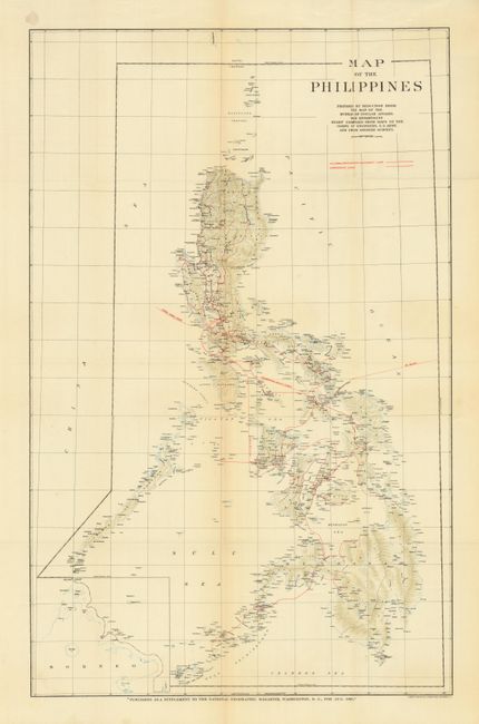
"Map of the Philippines", National Geographic Magazine

Subject: Philippines

Period: 1905 (published)

Publication:

Color: Printed Color

Size:
20.8 x 33 inches
52.8 x 83.8 cm
Download High Resolution Image
(or just click on image to launch the Zoom viewer)

This National Geographic Magazine map shows the Philippines shortly after the Spanish American War. The bold Paris Treaty line shows the extent of this new US territory that extends from the Tawi Tawi Islands in the south northward though the Philippines to the Batan Islands. Excellent detail of towns and villages, watershed, coastal detail and topography which is delicately drawn in green lithography. Red overprinting locates shipping routes, sub-sea cables, and the U.S. Signal Corps and Civil Government communication lines. The map was issued as a supplement to the August 1905 magazine. It was prepared from a map by the Bureau of Insular Affairs, War Department with topography compiled from U.S. Army maps and earlier Spanish Surveys.

References:

Condition: A+

Folding as issued.

Estimate: $100 - $150

Sold for: $60

Closed on 12/1/2010

Archived