Catalog Archive
Auction 134, Lot 622

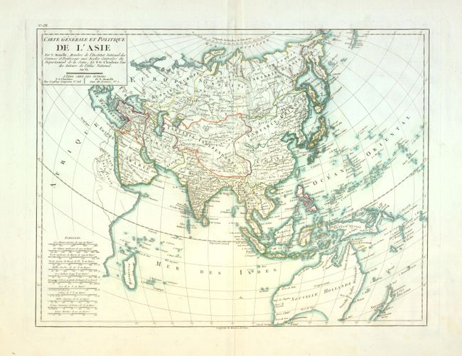
"Carte Generale et Politique de l'Asie", Mentelle, Edme

Subject: Asia

Period: 1798 (published)

Publication: Atlas National

Color: Hand Color

Size:
16.5 x 12.5 inches
41.9 x 31.8 cm
Download High Resolution Image
(or just click on image to launch the Zoom viewer)

Very finely engraved chart covers from Madagascar across the breadth of Asia to the Pacific to include Australia, the East Indies, the Philippines, Japan, China, Indo-China, Russia and the Middle East. Also shows most of New Zealand and Tasmania is mostly off the map, but made to appear attached to Australia. The title is contained in a rectangular cartouche with "An VI" which translates from the French as "Year 6" of the Revolutionary calendar, 1798. At lower left are a remarkable number of distance scales, twelve in all. No engraver is credited, yet it was likely Tardieu .

References:

Condition: B+

Very nice example with just a little light centerfold toning. On a full sheet with enormous margins and two watermarks.

Estimate: $180 - $220

Sold for: $100

Closed on 12/1/2010

Archived