Catalog Archive
Auction 134, Lot 609

"Carte de Perse dressee pour l'usage du Roy", Delisle, Guillaume

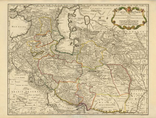
Subject: Persia - Iran

Period: 1724 (dated)

Publication: Atlas Geographique et Universel…

Color: Hand Color

Size:
24.5 x 19.3 inches
62.2 x 49 cm
Download High Resolution Image
(or just click on image to launch the Zoom viewer)

Handsome map of the region stretching from the Caucasus through Afghanistan and from the Arabian Desert to the Indus River. The map is filled with impressive detail including roads, bridges, forts, cities, villages, watering places and much else of interest. Finely engraved by P. Starckman with his imprint at lower right.

References:

Condition: B

There is a light damp stain at bottom center with some repairs on verso.

Estimate: $240 - $300

Sold for: $180

Closed on 12/1/2010

Archived