Catalog Archive
Auction 134, Lot 507

"Carte Routiere, Historique et Statistique des Etats de l'Ancienne Pologne", Dufour, Auguste-Henri
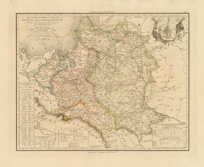
Subject: Poland

Period: 1831 (dated)

Publication:

Color: Hand Color

Size:
21.3 x 17.2 inches
54.1 x 43.7 cm
Download High Resolution Image
(or just click on image to launch the Zoom viewer)

This uncommon map of Poland features the geography of Leonard Chodzko. It stretches from the Oder River east to the Dnieper River at the edge of Russia. And extends north to above Riga and along the Baltic coast to detail Prussia and Pomerania. Very fancy inset is a plan of Warsaw above two Polish flags featuring the White Eagle and a mounted knight with raised sword. Table of statistics lower right and chronological list of conflicts for independence along the left margin. Extensive legend. Fancy titling with flourishes. Published in Paris by Charles Simonneau.

References:

Condition: B+

Very fine impression with original hand color on a full sheet with very wide margins. A little offsetting is visible.

Estimate: $250 - $350

Sold for: $375

Closed on 12/1/2010

Archived