Catalog Archive
Auction 134, Lot 459

"Dioecesis Leodiensis Accurata Tabula", Hondius, Henricus
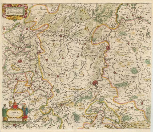
Subject: Belgium

Period: 1640 (circa)

Publication:

Color: Hand Color

Size:
21.4 x 18 inches
54.4 x 45.7 cm
Download High Resolution Image
(or just click on image to launch the Zoom viewer)

This is a great map of the Bishopric of Liege, a historic state of the Holy Roman Empire. It covers most of the present Belgian provinces of Liege and Limburg, roughly centered on the Muese River valley including Namur, Liege and Maestricht. Several other fortified cities are graphically depicted along with roads, forests, marshes, rivers, hills and hundreds of villages. English text on verso with a description of the region.

References:

Condition: B+

The right side margin is trimmed into the neatline at bottom, apparently as issued.

Estimate: $180 - $230

Sold for: $140

Closed on 12/1/2010

Archived