Catalog Archive
Auction 134, Lot 406

"A Chart of the Sea Coast of Great Britain and Ireland", Moll, Herman
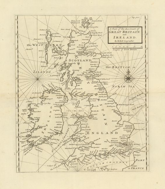
Subject: Britain

Period: 1760 (circa)

Publication:

Color: Black & White

Size:
11 x 13 inches
27.9 x 33 cm
Download High Resolution Image
(or just click on image to launch the Zoom viewer)

Strongly engraved chart shows all of England, Scotland and Ireland with good detail in the St. George Channel, the Irish North seas and the English Channel. Locates the Isle of Man, the Western Islands and the Orkney Islands at the tip of Scotland. Good detail along coastlines but the interior blank. The Dogger and Well Banks are mapped to the east. Embellished with a fancy compass rose and rhumb lines filling the seas.

References:

Condition: A

Apparent centerfold toning is show-through from binding strip on verso.

Estimate: $160 - $200

Sold for: $300

Closed on 12/1/2010

Archived