Catalog Archive
Auction 134, Lot 330

"Carte des Antilles", Tardieu, Antonie Francois

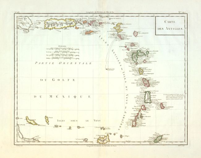
Subject: Puerto Rico and Lesser Antilles

Period: 1797 (circa)

Publication:

Color: Hand Color

Size:
16.8 x 12.7 inches
42.7 x 32.3 cm
Download High Resolution Image
(or just click on image to launch the Zoom viewer)

This chart of the Lesser Antilles extends from the eastern tip of Hispaniola through the Antilles to include Marguerite, Tobago and Curacao. It contains a dense listing of place names, more than most charts from this period. Good detail of Porto Rico, the Virgin Islands and St. Croix. The chart uses two standards to measure Longitude: Paris and the Isle de Fer in the Canary Islands. The Canary Island standard was first proposed by Ptolemy as this was at the time the western boundary of the known world. Various islands in the Atlantic Ocean were used as zero longitude until 1634, when an a committee organized by Cardinal Richelieu selected the Isle de Fer. Engraved by Tardieu and drawn by Andre.

References:

Condition: A

Fine impression on a full sheet with very wide margins and two watermarks. Apparent light centerfold toning is actually show-through from the backstrap.

Estimate: $150 - $200

Sold for: $210

Closed on 12/1/2010

Archived