Catalog Archive
Auction 133, Lot 88

"North America", Tanner, Henry Schenck

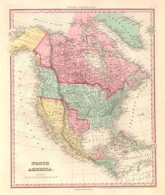
Subject: North America, Texas

Period: 1836 (dated)

Publication: Tanner's Universal Atlas

Color: Hand Color

Size:
12.3 x 14.6 inches
31.2 x 37.1 cm
Download High Resolution Image
(or just click on image to launch the Zoom viewer)

The independent Republic of Texas is shown, Oregon is to the west of the continental divide, the huge unorganized area between Oregon and Missouri is variously labeled Osage, Mandan, Sioux, Ozark and Wisconsin Districts. The U.S./Canadian border in the west extends far north into present-day British Columbia. The information gathered by Lewis and Clark is evident in the depiction of the river systems in the West. The map is pre-Fremont, but already Tanner has removed any crossing rivers from the Great Basin, here called the Sandy Plain. An extremely handsome example of this desirable map that is becoming increasingly scarce.

References:

Condition: A+

Beautiful, flawless example with full margins, clean paper and strong original hand coloring

Estimate: $325 - $400

Sold for: $550

Closed on 9/1/2010

Archived