Catalog Archive
Auction 133, Lot 724

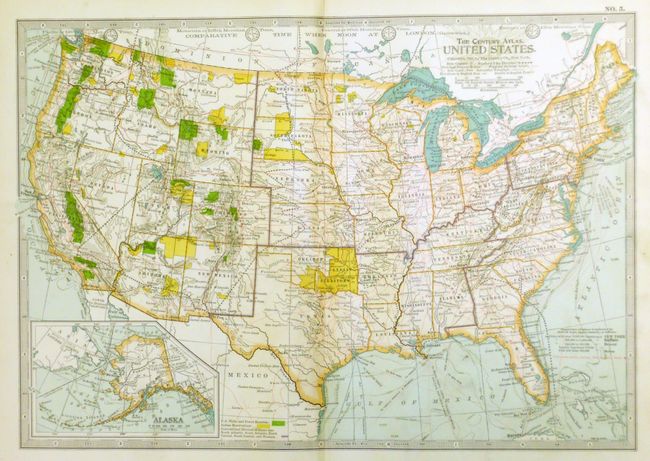
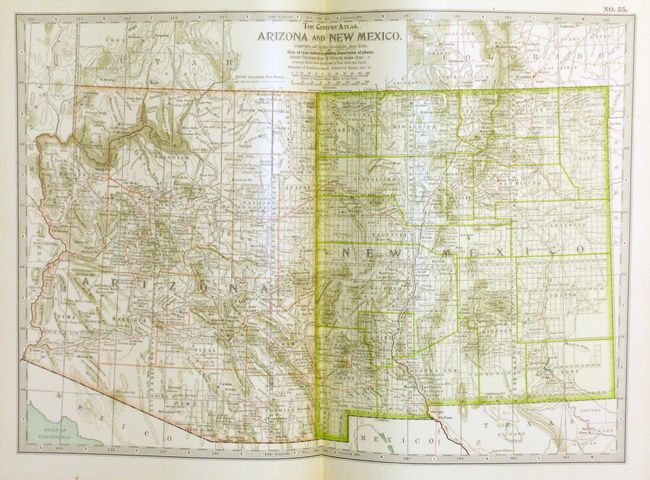
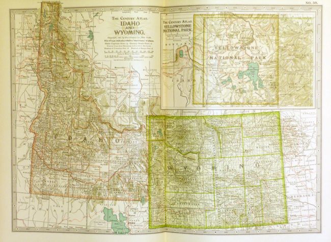
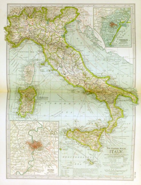
"The Century Atlas of the World", Matthews-Northrup Co

Subject: Atlases

Period: 1898 (dated)

Publication:

Color: Printed Color

Size:
9 x 12 inches
22.9 x 30.5 cm
Download High Resolution Image
(or just click on image to launch the Zoom viewer)

This atlas has 137 of 138 map plates, plus 39 historical and astronomical maps on 20 plates that make up the first section before the numbered maps. The main section of modern geographical maps follows, and has an exhaustive 402 page index. The maps are packed with detail, and beautifully printed with the railroads shown in red. All are printed on one side only and tipped in, unusual for atlases of this period. Map #2 World in Hemispheres is missing. 4to. Original leather-bound hardboards with gilt raised bands and title on spine. A huge collection of maps in this first edition atlas.

References:

Condition: A

Contents and all maps except as noted are clean and bright (A+). Map 28 (Iowa) and 57 (Southern California) are loose plus 57 is torn in nearly half. Because the boards are rubbed and frayed with back cover cloth torn and lifted this lot is best thought of as a set of maps.

Estimate: $180 - $220

Sold for: $120

Closed on 9/1/2010

Archived