Catalog Archive
Auction 133, Lot 718

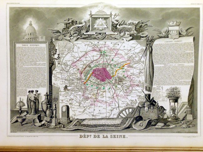
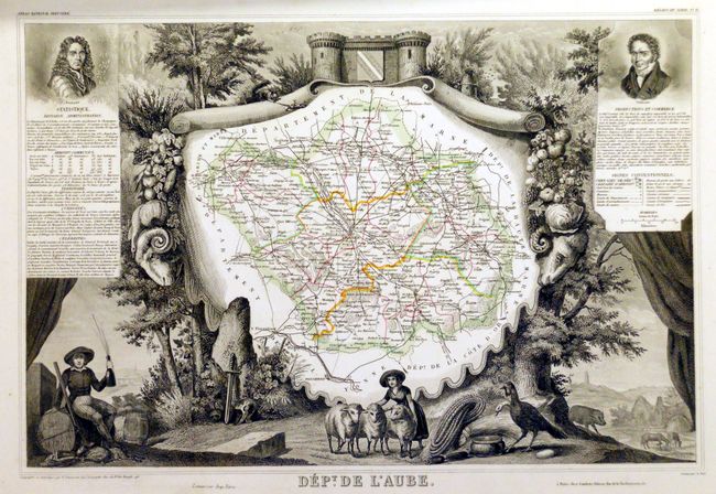
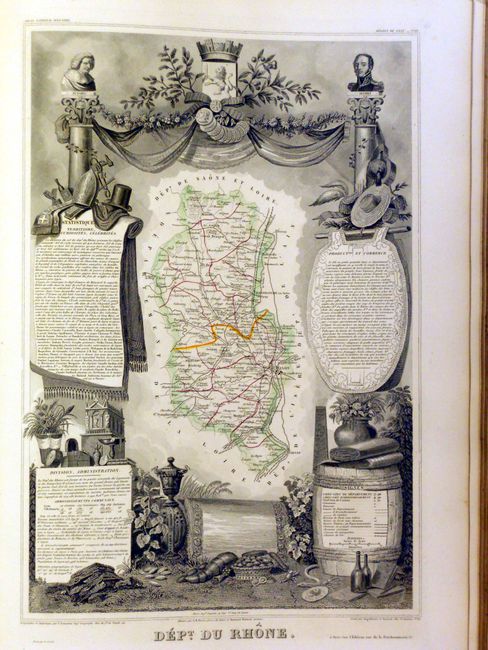
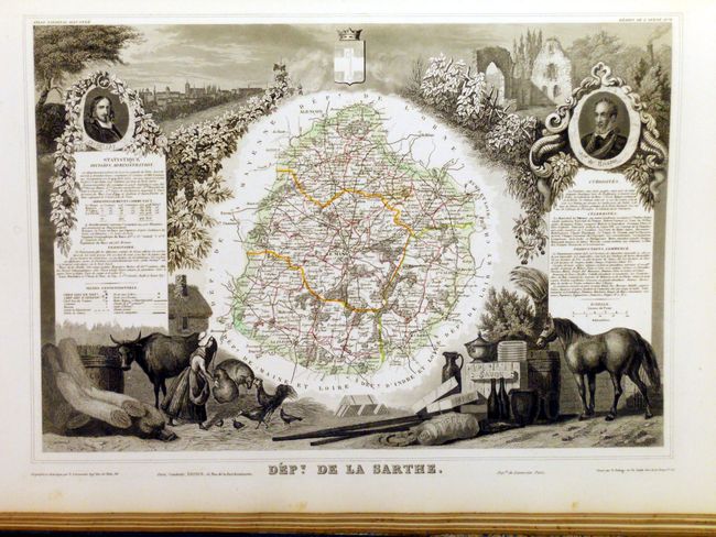
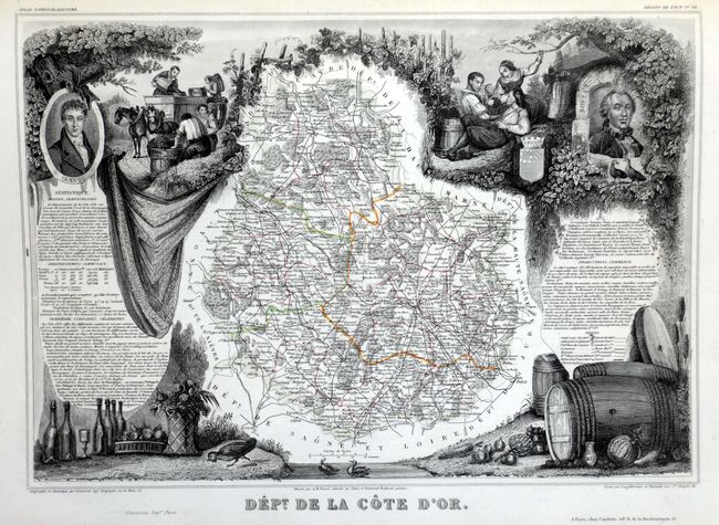
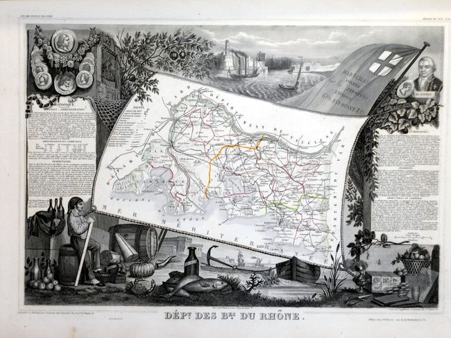
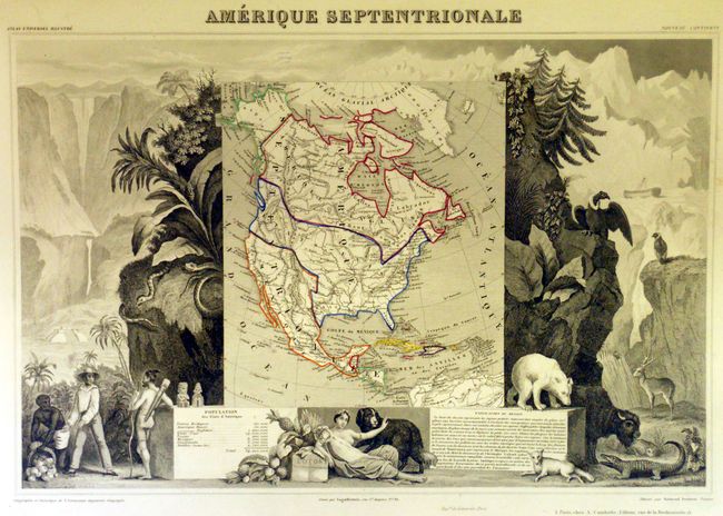
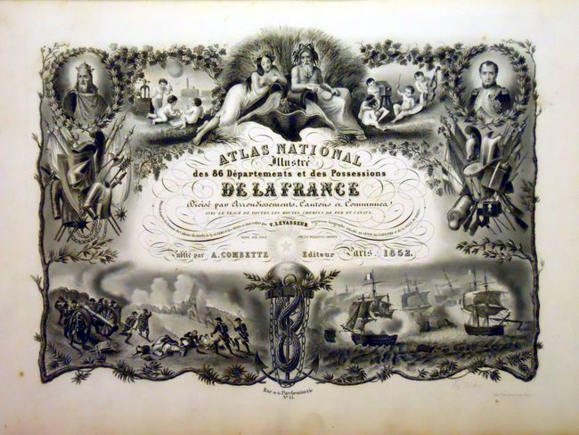
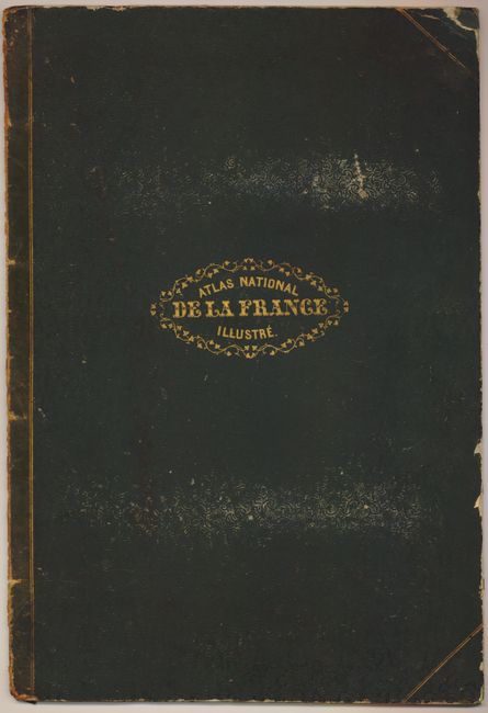
"Atlas National Illustre des 86 Departments et des Possessions de la France Divisee par Arrondissments, Cantons en Communes", Levasseur, Victor

Subject: Atlases

Period: 1852 (dated)

Publication:

Color: Hand Color

Size:
15 x 22 inches
38.1 x 55.9 cm
Download High Resolution Image
(or just click on image to launch the Zoom viewer)

The United States and Great Britain established in 1818 joint claim over the Oregon Territory - the region north of Spanish controlled Upper California up to the southern boundary of Russia's Alaska Territory at North latitude 54°40'. By the late 1830's this arrangement was beginning to fall apart. In the 1840's the expansionist Democrats, including their 1844 presidential candidate, James Polk, claimed the entire region for the United States. Their expansionist desires were expressed by Polk's famous campaign slogan, "Fifty-four Forty or Fight!" The slogan also became a rally cry for Americans desiring to settle the territory. Following Polk's election, the dispute was resolved by the 1846 Treaty of Oregon, which struck a compromise that fixed the U.S./Canadian boundary at 49º North.

This was one of the last decorative atlases ever produced. The finely engraved title page, which sets the stage for the beautiful maps to follow, is made up of several vignettes depicting famous land and sea battles, a portrait of Napoleon I, children practicing the arts and sciences, and more. In addition to the individual French departments the atlas contains maps of the world, continents and Oceania. The map of North America names Texas as independent, but it is colored within the United States. The Northwest shown extending well into Canada. France was an ally to the U.S. and supported their position in the Fifty-four Forty or Fight dispute. Six more maps show the French colonial possessions of the time and two others illustrate France as a whole, with one, Nouvelle Carte de France, being the double page map at the back of the Atlas. This fine and complete atlas is filled with maps that have lovely decorated borders which relate to the region, including statistical information, regional products, famous local people, and places of interest. Original quarter leather, dark brown embossed and gilt cloth covers over boards, raised spine, all with tooling. Marbled end papers, engraved title page, table of contents, 99 single page maps and 1 double page map. This is an increasingly difficult to obtain atlas, here with stunning maps.

References:

Condition:

Most of the maps are fine, clean and bright with just a few very good. The Dept. de l'Aube has a small triangular stain in upper margin from postage stamp. Both maps which show Paris are often found soiled, these are fine. Binding is worn, front cover detached and the spine is mostly loose and in several pieces. Map #46 is incorrectly printed as 64, as always found. A small amount of binding work will turn this into a stunning example.

Estimate: $1,000 - $1,200

Sold for: $950

Closed on 9/1/2010

Archived