Catalog Archive
Auction 133, Lot 656

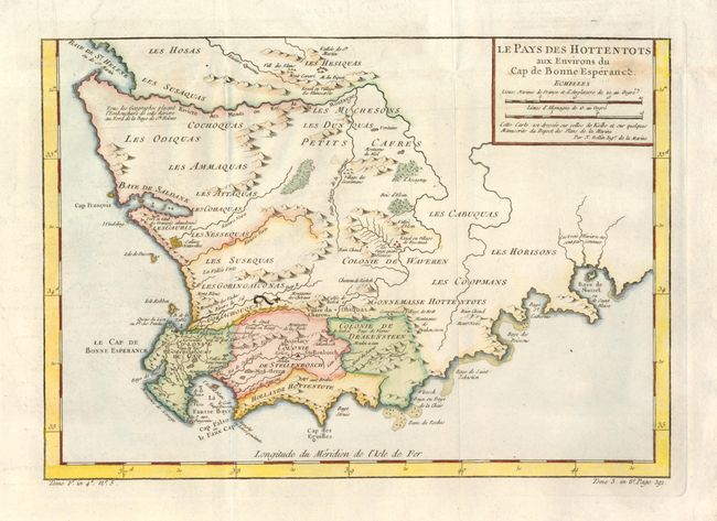
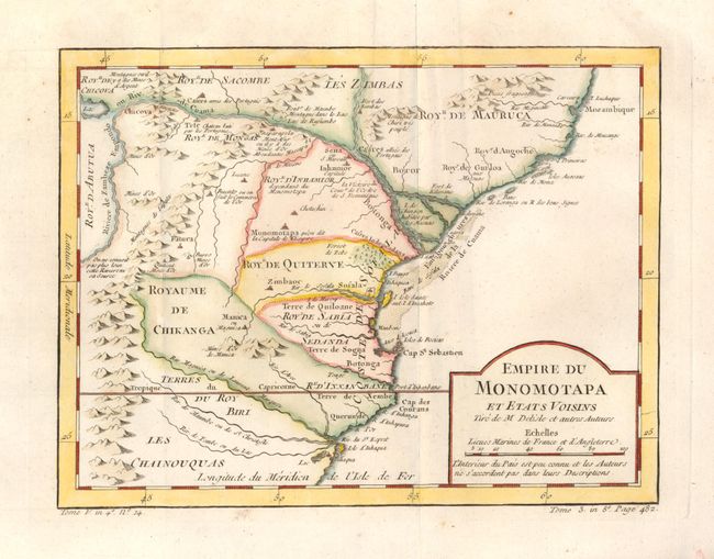
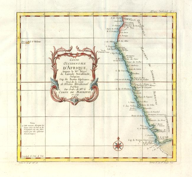
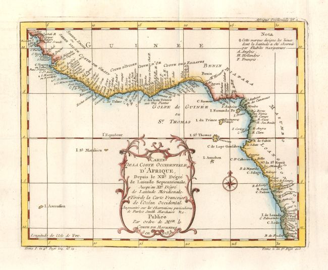
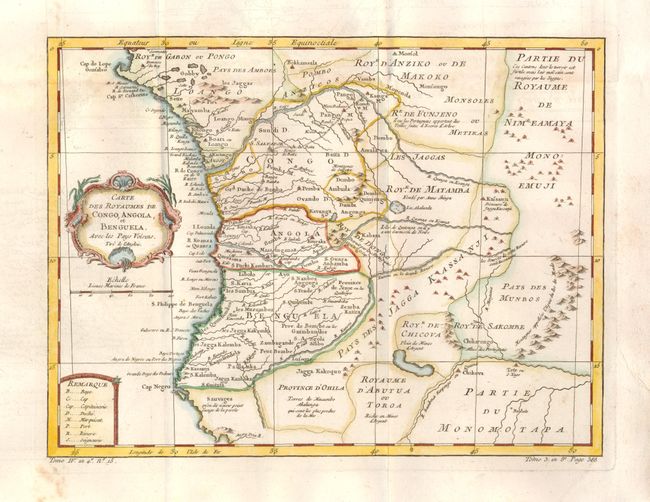
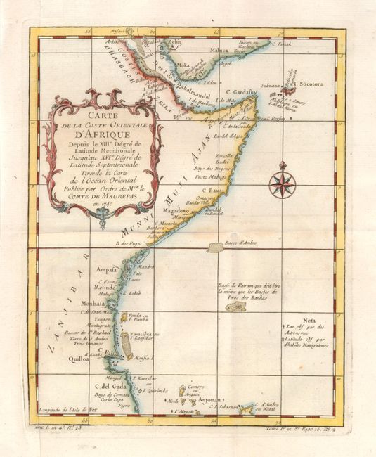
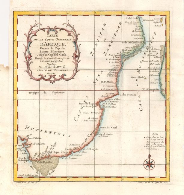
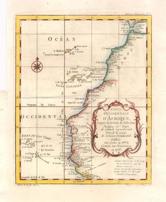
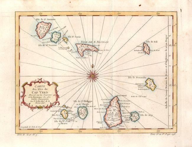
"[Lot of 9 - Africa]", Bellin, Jacques Nicolas

Subject: Africa

Period: 1739-60 (circa)

Publication: Prevost's Histoire Generale des Voyages

Color: Hand Color

Size:
See Description
Download High Resolution Image
(or just click on image to launch the Zoom viewer)

This is a nice lot of region maps, each providing a great deal of information, particularly the minute coastal detail for which Bellin is renowned. His long career as hydrographer to the Depot des la Marine resulted in the completion of hundreds of high quality nautical charts. Many were reduced for publication in Prevost's popular history of voyages.

1) Le Pays des Hottentots aux Environs du Cap de Bonne Esperance (13.5 x 9.5"). Great small map of the Cape region with the colonies, villages and tribes carefully noted.
2) Empire du Monomotapa et Etats Voisins (10.4 x 8.0"). This map features the Kingdom of Monomotapa roughly in today's Mozambique. Based on Delisle, it includes the Zambeze River and is bisected by the Tropic of Capricorn. It is filled with notations on gold mines and the supposed sources of rivers.
3) Coste Occidentale d'Afrique, Depuis le XIe Degre de Latitude Meridionale jusqu'au Cap de Bonne Esperance, 1739 (10.3 x 9.6"). This map covers the southwestern coastline from the Kingdom of Benguela to the Cape of Good Hope. It was prepared for the Minister of the Navy, Count of Maurepas, and is nicely detailed with locations of settlements, anchorages, and forts.
4) Carte de la Coste Occidentale d'Afrique Depuis le depuis le XIIe Degre de Latitude Septentrionale…, 1739 (9.8 x 7.8") This map covers the coastline from Sierra Leone to Angola. It was prepared for the Minister of the Navy, Count of Maurepas, and is nicely detailed with locations of settlements, anchorages, and forts.
5) Carte des Royaumes de Congo, Angola, et Benguela (12.3 x 9.3") focuses on the kingdoms of Congo, Angola and Benguela and provides great information on the interior.
6) Carte de la Coste Orientale d'Afrique, depuis le XIIIe Degre de Latitude Meridionale jusqu'au XVIe Degre de Latitude Septentrionale…, 1740 (8 x 9.6") Also prepared for the Minister of the Navy, this map covers the eastern coastline from the Cape of Good Hope to Cape Gada.
7) Carte de la Coste Orientale d'Afrique, depuis le Cap de Bonne Esperance, jusqu'au Cap del Gada, 1740 (8 x 9.6") is a continuation of the eastern coast up to the Red Sea.
8) Coste Occidentale d'Afrique, Depuis le Detroit de Gibraltar, 1738, (7.8 x 9.8). This map illustrates the northwest coastline from the Strait of Gibraltar to Gambia.
9) Carte des Isles du Cap Verd, 1746, (11.2 x 8.4"). This map of the Cape Verde Islands is centered on a beautiful compass rose. It shows the harbors and anchorages that were an important location for re-supplying ships in trans-Atlantic trade, particularly the African Slave Trade.

References:

Condition: A

Folding, as issued with some minor defects in the wide original margins.

Estimate: $400 - $500

Sold for: $300

Closed on 9/1/2010

Archived