Catalog Archive
Auction 133, Lot 635

"[Lot of 9 - India]",

Subject: India

Period: 1750-1883

Publication:

Color:

Size:
See Description
Download High Resolution Image
(or just click on image to launch the Zoom viewer)
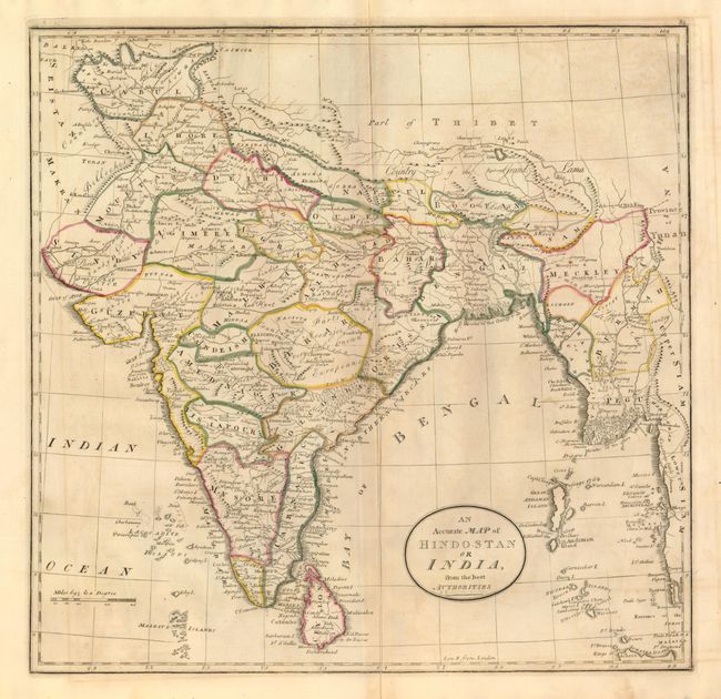
Nice collection of Indian maps covering the period of growing British influence on the subcontinent.

1) An Accurate Map of Hindostan or India, from the best Authorities, by M. Carey, circa 1814, hand color, (16 x 15.5"). The map extends to include the coastline of Burma and part of Thailand. Original outline color with some offsetting (B+).
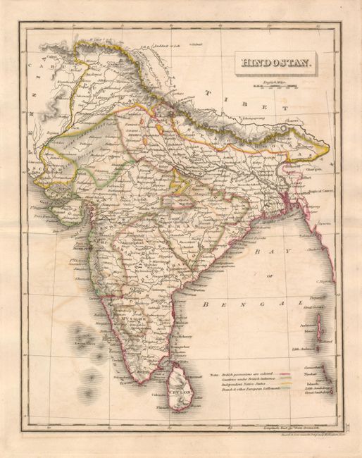
2) Hindostan, by Russell & Sons, circa 1820, hand color, (7.5 x 9.5"). Original outline color distinguishes the British possessions, areas under British influence, Independent Native States, and other colonial settlements. Some minor offsetting. (B+)
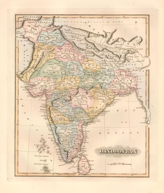
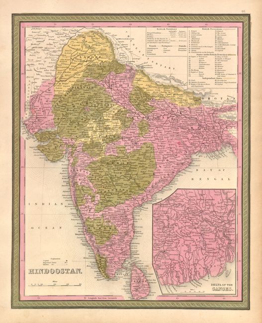
3) Hindoostan, anonymous, circa 1840, hand color, (8.8 x 10.5"). Lovely original color (A+)
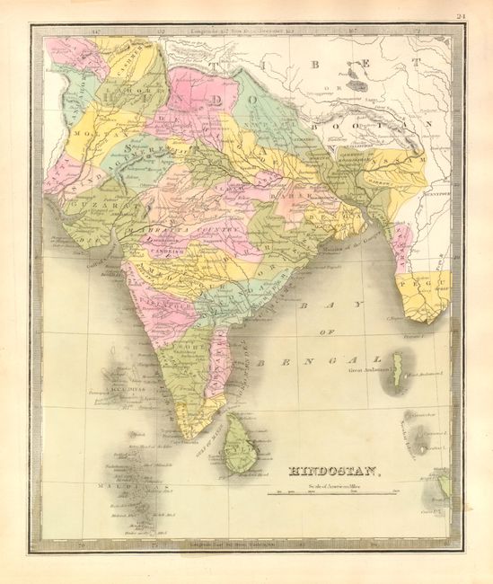
4) Hindostan, by Greenleaf, circa 1843, hand color, (7.5 x 9.5"). Original color with some toning in margins. (A)
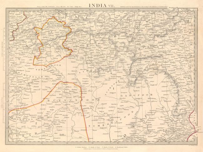
5) India VII, by SDUK, 1832, hand color, (14.5 x 10"). The map covers a part of central India including the Rajah of Berar & the Rajah of Rewah. Original outline color with some marginal tears closed with archival tape (A) br> 6) Hindoostan, by S.A. Mitchell, from Mitchell's New Universal Atlas, circa 1848, hand color, (12 x 15"). Includes a large inset of the Delta of the Ganges and tables of the various colonial possessions. Bright original color with a couple minor spots (B+).
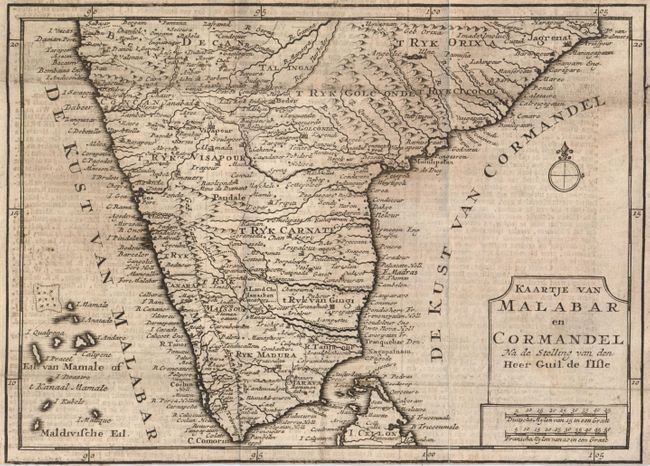
7) Kaartje van Malabar en Cormandel Na de Stelling van den Heer Guil. De l'Isle, by Tirion, circa 1750, black & white, (9.4 x 6.7). Issued folded, now backed with a sheet of contemporary paper. Narrow margins, with bottom margin trimmed to neatline. Soiled (C+)
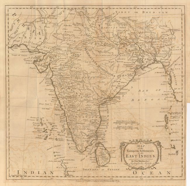
8) Map of the European Settlements in the East Indies, by T. Kitchen, 1783, black & white, (13.8 x 13.3"). Issued folding, with offsetting. Binding trim at lower right side with a tear entering the border, closed with archival tape on verso (B).
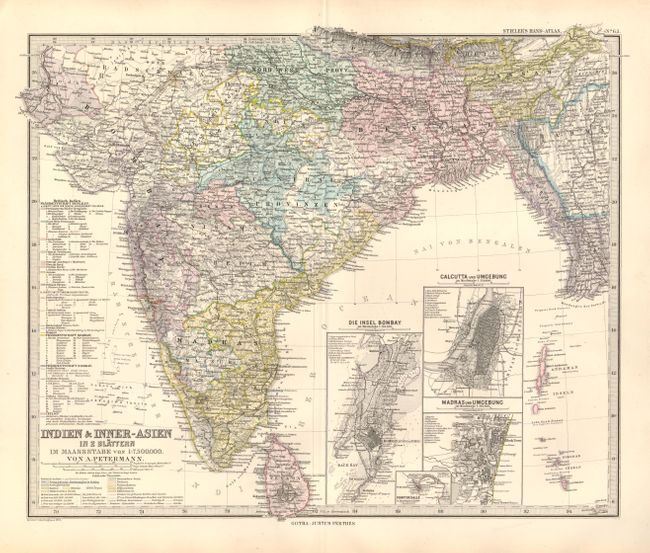
9) Indien & Inner-Asien in 2 Blattern, by J. Perthes, from Stieler's Hand-Atlas, 1883, hand color, (16.4 x 13.4"). The map covers from Pakistan through Burma and includes inset maps of the vicinities of Bombay, Calcutta, Madras and Point de Galle. Original color. (A+)

References:

Condition:

See individual descriptions.

Estimate: $300 - $400

Sold for: $220

Closed on 9/1/2010

Archived