Catalog Archive
Auction 133, Lot 632

"Carte de l'Ocean Oriental, ou Mer des Indes…", Bellin, Jacques Nicolas

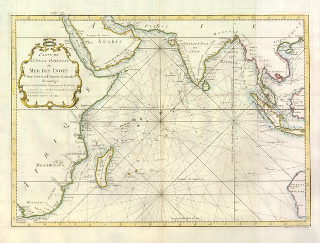
Subject: Indian Ocean

Period: 1760 (circa)

Publication: Histoire Generale des Voyages

Color: Hand Color

Size:
18.8 x 13.4 inches
47.8 x 34 cm
Download High Resolution Image
(or just click on image to launch the Zoom viewer)

This chart covering from South Africa through to Western Australia was reduced from Bellin's large-scale chart of the region and provides great detail of the islands and coastlines. The locations where latitude and longitude were measured, both on land and at sea, are noted throughout the map. Rhumb lines, fleur-de-lys, and a delicate title cartouche make this a very attractive sheet.

References:

Condition: A

Issued folded with a bit of faint offsetting, overall very good.

Estimate: $250 - $325

Sold for: $180

Closed on 9/1/2010

Archived